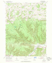
1954 Map of Asaph
USGS Topo · Published 1971About this map
Marsh Creek flows through the southern valley of this Tioga County region, following the path of the Penn Central and B & O railroads. The landscape is defined by the high ridges of Shippen and Chatham townships, where the terrain is marked by a complex network of hollows such as Hornby Hollow and Daggett Hollow. Small settlements like Asaph and Ansonia Sta anchor the valley floor, while the heights are guarded by the Baldwin Fire Tower and Goodall Fire Tower.
Find a feature on this map
69 named features on this map. Tap any name to fly to it.
Don’t see what you’re looking for? This feature index may not catch every label — zoom into the map to look around manually.
Map Details
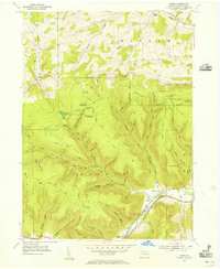
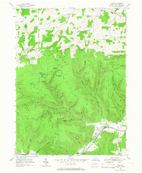
Editions of this 1954 Asaph Map
Other maps of this area

1899 · Gaines
USGS Topo · 1:62,500

1900 · Gaines
USGS Topo · 1:62,500

1900 · Elkland
USGS Topo · 1:62,500

1946 · Tiadaghton
USGS Topo · 1:24,000

1946 · Antrim
USGS Topo · 1:62,500

1946 · Antrim
USGS Topo · 1:24,000

1947 · Galeton
USGS Topo · 1:62,500

1947 · Marshlands
USGS Topo · 1:24,000

1948 · Antrim
USGS Topo · 1:24,000
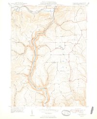
1948 · Tiadaghton
USGS Topo · 1:24,000
Featured Places
- Clymer Township, PA
- Gaines Township, PA
- Chatham Township, PA
- Delmar Township, PA
- Azelta, Clymer Township