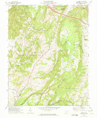
1972 Map of Asbury
USGS Topo · Published 1974About this map
Asbury lies at the heart of this Greenbrier County landscape, where the ridges of Muddy Creek Mountain and Brushy Ridge dominate the terrain. The map captures a rural West Virginia community shaped by its waterways and small-scale milling history, evidenced by Blaker Mills in the south and Piercys Mill to the north. These settlements are connected by winding roads through valleys like Sponaugle Hollow and Mullins Hollow, following the drainage of Muddy Creek toward the Greenbrier River.
Find a feature on this map
34 named features on this map. Tap any name to fly to it.
Don’t see what you’re looking for? This feature index may not catch every label — zoom into the map to look around manually.
Map Details
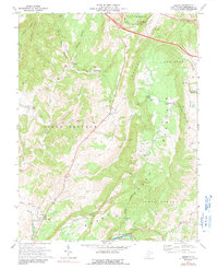
Editions of this 1972 Asbury Map
2 editions found
Other maps of this area

1887 · Hinton
USGS Topo · 1:125,000

1887 · Lewisburg
USGS Topo · 1:125,000

1891 · Lewisburg
USGS Topo · 1:125,000

1892 · Hinton
USGS Topo · 1:125,000

1921 · Alderson
USGS Topo · 1:48,000

1921 · White Sulphur Springs
USGS Topo · 1:48,000

1921 · Clintonville
USGS Topo · 1:48,000

1921 · Ronceverte
USGS Topo · 1:48,000

1923 · Clintonville
USGS Topo · 1:62,500

1923 · White Sulphur Springs
USGS Topo · 1:62,500