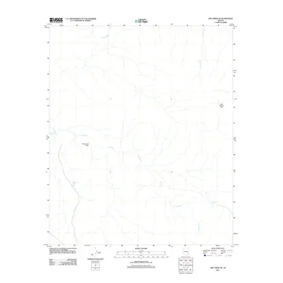
2011 Map of Ash Creek NE
USGS Topo · Published 2011About this map
Ash Creek winds through this arid section of Gila County, defining a landscape shaped by intermittent water sources and the requirements of remote ranching or land management. The presence of numerous cattle tanks, such as Kidde Tank, Armstrong Tank, and Deadman Tank, indicates the critical role of water storage in this drainage basin. These man-made features are essential markers for local history researchers tracing land use and grazing patterns in the early 21st century.
Find a feature on this map
8 named features on this map. Tap any name to fly to it.
Don’t see what you’re looking for? This feature index may not catch every label — zoom into the map to look around manually.
Map Details
Editions of this 2011 Ash Creek NE Map
This is the sole edition of this map. No revisions or reprints were ever made.
Other maps of this area

1954 · Clifton
USGS Topo · 1:250,000

1954 · Mesa
USGS Topo · 1:250,000

1957 · Mesa
USGS Topo · 1:250,000

1957 · Clifton
USGS Topo · 1:250,000

1958 · Clifton
USGS Topo · 1:250,000

1958 · Mesa
USGS Topo · 1:250,000

1960 · Mesa
USGS Topo · 1:250,000

1962 · Clifton
USGS Topo · 1:250,000

1964 · Mesa
USGS Topo · 1:250,000

1966 · Branaman Spring
USGS Topo · 1:24,000