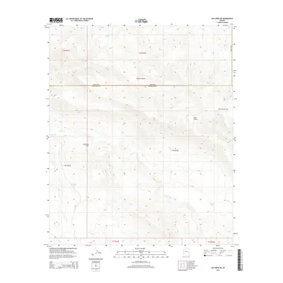
2014 Map of Ash Creek NE
USGS Topo · Published 2014About this map
Natanes Plateau dominates the high ground of this Arizona landscape, which straddles the rugged boundary between Gila Co and Graham Co. The terrain is defined by a complex network of seasonal drainages and canyons, most notably Ash Creek and its southern tributaries. The map reveals a land managed for water resources in an arid environment, evidenced by several strategically placed stock tanks and catchments such as Deadman Tank, Armstrong Tank, and Freezeout Tank.
Find a feature on this map
20 named features on this map. Tap any name to fly to it.
Don’t see what you’re looking for? This feature index may not catch every label — zoom into the map to look around manually.
Map Details
Editions of this 2014 Ash Creek NE Map
This is the sole edition of this map. No revisions or reprints were ever made.
Other maps of this area

1954 · Clifton
USGS Topo · 1:250,000

1954 · Mesa
USGS Topo · 1:250,000

1957 · Mesa
USGS Topo · 1:250,000

1957 · Clifton
USGS Topo · 1:250,000

1958 · Clifton
USGS Topo · 1:250,000

1958 · Mesa
USGS Topo · 1:250,000

1960 · Mesa
USGS Topo · 1:250,000

1962 · Clifton
USGS Topo · 1:250,000

1964 · Mesa
USGS Topo · 1:250,000

1966 · Branaman Spring
USGS Topo · 1:24,000