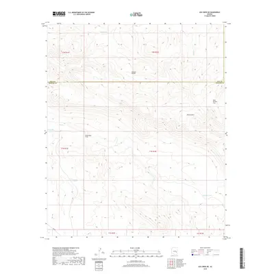
2018 Map of Ash Creek NE
USGS Topo · Published 2018About this map
Notanes Plateau dominates the northern landscape of this Arizona quadrangle, where high desert elevations are marked by seasonal water sources and deep drainage patterns. The boundary between Gila Co and Graham Co cuts directly across the center of the sheet, providing a clear reference for researchers studying county-line land holdings or grazing allotments. Water management in this arid environment is evidenced by several catchment features, including Kidde Tank in the north and Deadman Tank to the south.
Find a feature on this map
18 named features on this map. Tap any name to fly to it.
Don’t see what you’re looking for? This feature index may not catch every label — zoom into the map to look around manually.
Map Details
Editions of this 2018 Ash Creek NE Map
This is the sole edition of this map. No revisions or reprints were ever made.
Other maps of this area

1954 · Clifton
USGS Topo · 1:250,000

1954 · Mesa
USGS Topo · 1:250,000

1957 · Mesa
USGS Topo · 1:250,000

1957 · Clifton
USGS Topo · 1:250,000

1958 · Clifton
USGS Topo · 1:250,000

1958 · Mesa
USGS Topo · 1:250,000

1960 · Mesa
USGS Topo · 1:250,000

1962 · Clifton
USGS Topo · 1:250,000

1964 · Mesa
USGS Topo · 1:250,000

1966 · Branaman Spring
USGS Topo · 1:24,000