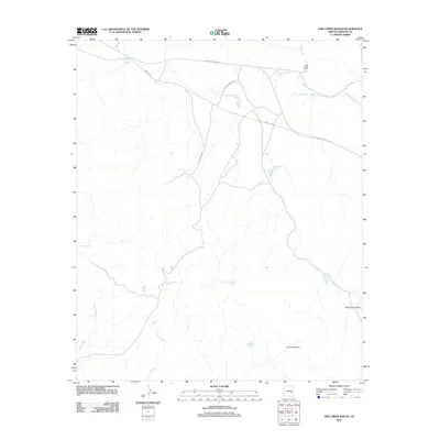
2011 Map of Ash Creek Ranch
USGS Topo · Published 2011About this map
Ash Creek Ranch serves as the primary landmark in this Graham County landscape, where the water management systems of the American West are on full display. The area's reliance on specialized reservoirs is evident through the naming of numerous stock ponds and catchments, including the Headquarters Tank, South Headquarters Tank, and the appropriately named Military Tank. These features are connected by a network of rural routes such as Ash Creek Ranch Rd and Indian Rte 8, which follow the natural contours of the drainage systems.
Find a feature on this map
22 named features on this map. Tap any name to fly to it.
Don’t see what you’re looking for? This feature index may not catch every label — zoom into the map to look around manually.
Map Details
Editions of this 2011 Ash Creek Ranch Map
This is the sole edition of this map. No revisions or reprints were ever made.
Other maps of this area

1954 · Clifton
USGS Topo · 1:250,000

1954 · Mesa
USGS Topo · 1:250,000

1957 · Mesa
USGS Topo · 1:250,000

1957 · Clifton
USGS Topo · 1:250,000

1958 · Clifton
USGS Topo · 1:250,000

1958 · Mesa
USGS Topo · 1:250,000

1960 · Mesa
USGS Topo · 1:250,000

1960 · Bylas
USGS Topo · 1:62,500

1960 · Fort Thomas
USGS Topo · 1:62,500

1962 · Clifton
USGS Topo · 1:250,000