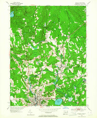
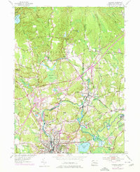
1953 Map of Ashaway
USGS Topo · Published 1964About this map
The Pawcatuck River winds through this 1953 landscape, serving as the natural boundary between North Stonington, Connecticut, and the Rhode Island towns of Hopkinton and Westerly. The river’s path is the spine of local industry and settlement, connecting the milling communities of Ashaway, Potter Hill, and Stillmanville. To the south, the industrial and commercial center of Westerly is densely detailed, showing the urban grid and its proximity to the New York New Haven and Hartford railroad tracks.
Find a feature on this map
61 named features on this map. Tap any name to fly to it.
Don’t see what you’re looking for? This feature index may not catch every label — zoom into the map to look around manually.
Map Details
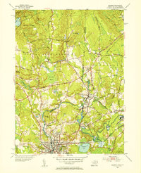
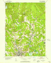
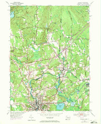
Editions of this 1953 Ashaway Map
5 editions found
Other maps of this area

1889 · Stonington
USGS Topo · 1:62,500

1889 · Charlestown
USGS Topo · 1:62,500

1889 · Moosup
USGS Topo · 1:62,500

1890 · Kent
USGS Topo · 1:62,500

1893 · Moosup
USGS Topo · 1:62,500

1893 · Stonington
USGS Topo · 1:62,500

1894 · Kent
USGS Topo · 1:62,500

1919 · Charlestown
USGS Topo · 1:62,500

1920 · Moosup
USGS Topo · 1:62,500

1921 · Charlestown
USGS Topo · 1:62,500