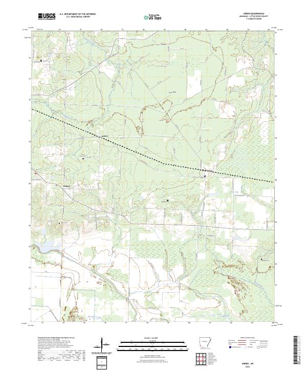
2024 Map of Ashdown East
USGS Topo · Published 2024About this map
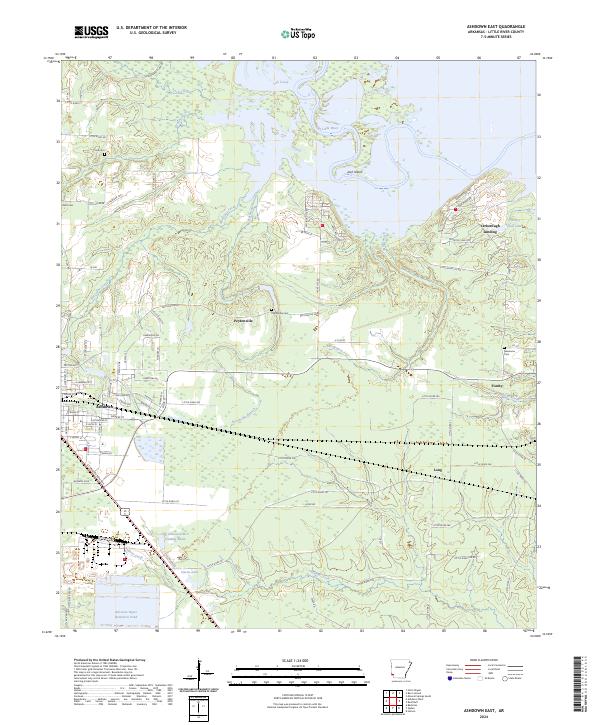
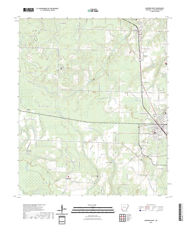
Ashdown serves as the primary hub of this Little River County region, where the KCS railroad corridor intersects a grid of residential streets including E Main St and S Constitution Ave. The landscape to the east and north is defined by the winding course of the Little River, which creates complex hydrological features like Jack Island and the oxbow-rich wetlands near Yarborough Landing. This contemporary survey illustrates the area's mix of industrial and rural land use, from the Nacoosa Paper Retention Pond in the southwest to the quiet agricultural settlements of Peytonville and Fomby. Local history is preserved in several family and community burial grounds, such as Cook Cem, Hicks Cem, and Newsome Cem, which are tucked away among the many creek branches like Bell Branch and Hurricane Creek that drain into the river system.
Find a feature on this map
100 named features on this map. Tap any name to fly to it.
Don’t see what you’re looking for? This feature index may not catch every label — zoom into the map to look around manually.
Map Details
Editions of this 2024 Ashdown East Map
This is the sole edition of this map. No revisions or reprints were ever made.
Historical Maps of Peytonville Through Time
10 maps found
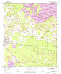
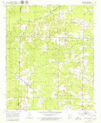
1950 Ashdown East
Little River County, AR
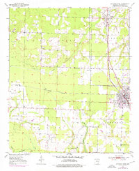
1950 Ashdown West
Little River County, AR
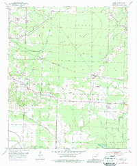
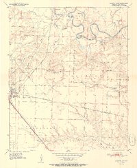
1951 Arden
Little River County, AR
1951 Arkinda
Little River County, AR
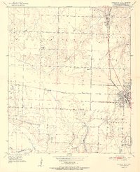
1951 Ashdown East
Little River County, AR
1951 Ashdown West
Little River County, AR
2024 Arden
Little River County, AR

2024 Arkinda
Little River County, AR
2024 Ashdown East
Little River County, AR
2024 Ashdown West
Little River County, AR