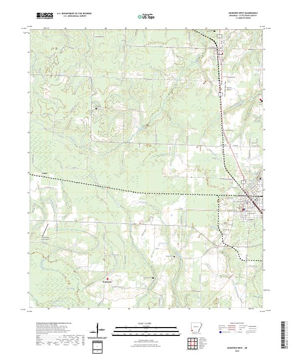
2024 Map of Ashdown West
USGS Topo · Published 2024About this map
The Little River County Courthouse stands as a central landmark in Ashdown, the seat of Little River County. This modern survey illustrates the town's organized grid, featuring streets such as N Constitution Ave and W Hamilton St. North of the county seat, the settlement of Wilton is situated along the rail corridor, while the southern landscape transitions into the rural environs of Richmond and the small locality of Comet. Numerous cemeteries, including Wilton Cem, Rhodes Cem, and Richmond Cem, are distributed across the quadrangle, serving as essential points for genealogical research. The local terrain is defined by a network of waterways like Lick Creek, Beaver Creek, and Hemphill Creek, which drain the lowlands surrounding Sandy Ridge. Small airstrips, including Garrison Airport and Sandy Ridge Farms Airport, indicate the ongoing importance of local aviation in this corner of southwest Arkansas.
Find a feature on this map
83 named features on this map. Tap any name to fly to it.
Don’t see what you’re looking for? This feature index may not catch every label — zoom into the map to look around manually.
Map Details
Editions of this 2024 Ashdown West Map
This is the sole edition of this map. No revisions or reprints were ever made.
Other maps of this area

1950 · Redbank
USGS Topo · 1:24,000

1950 · Ashdown East
USGS Topo · 1:24,000

1950 · Ashdown West
USGS Topo · 1:24,000

1950 · Ogden
USGS Topo · 1:24,000

1950 · Ben Lomond
USGS Topo · 1:24,000

1950 · Barkman
USGS Topo · 1:24,000

1950 · Falls Chapel
USGS Topo · 1:24,000

1950 · Winthrop
USGS Topo · 1:24,000

1951 · Winthrop
USGS Topo · 1:24,000

1951 · Redbank
USGS Topo · 1:24,000