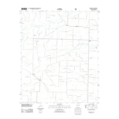
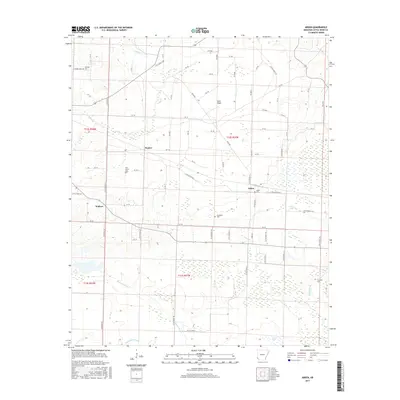
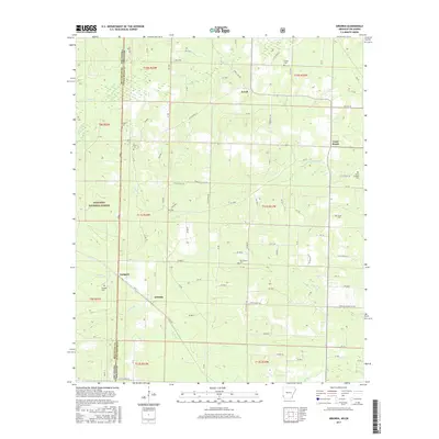
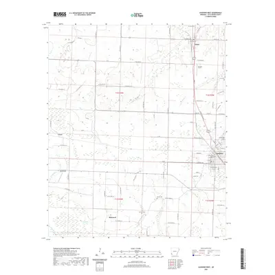
1950 Map of Ashdown West
USGS Topo · Published 1976About this map
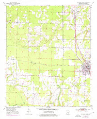
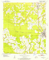
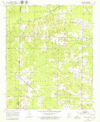
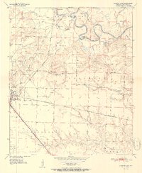
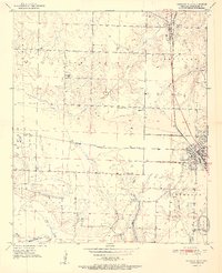
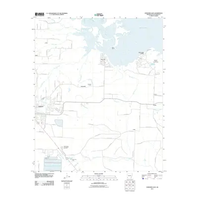
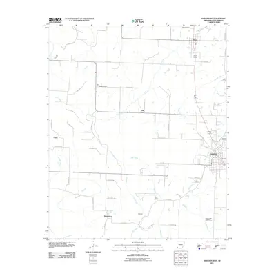
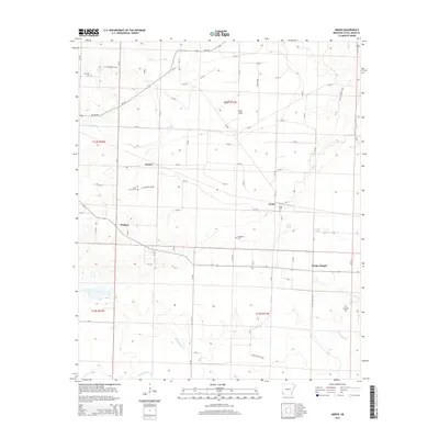
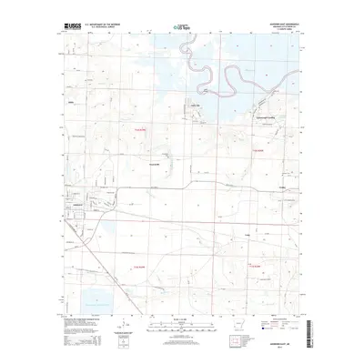
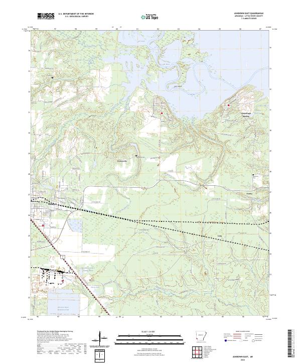
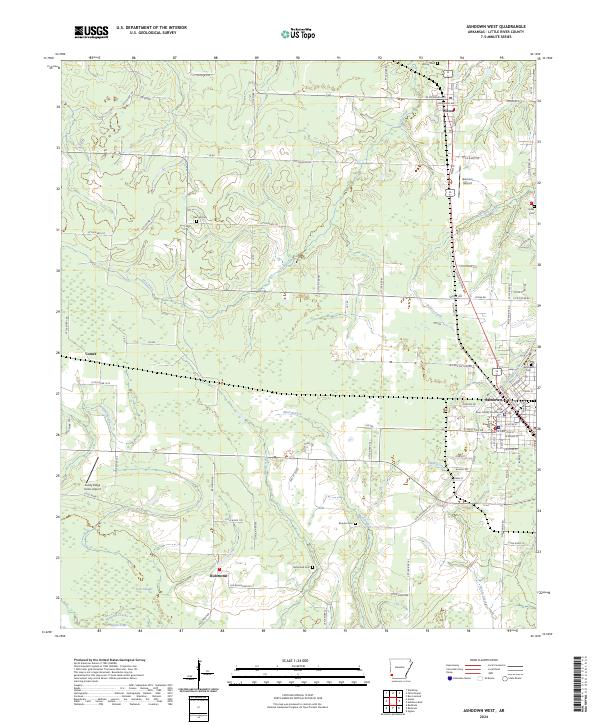
Ashdown serves as the primary hub of this Little River County landscape, where the intersection of the Kansas City Southern and St Louis San Francisco railroads once drove local commerce and movement. The map captures a transition in Mid-Century recreation and community life, evidenced by the Drive-in Theater situated north of the city. To the north and west, the terrain is defined by the drainage of Lick Creek and Hemphill Creek, with rural life organized around established landmarks such as Oak Grove Ch and Elmore Ch.
Find a feature on this map
29 named features on this map. Tap any name to fly to it.
Don’t see what you’re looking for? This feature index may not catch every label — zoom into the map to look around manually.
Map Details
Editions of this 1950 Ashdown West Map
2 editions found
Historical Maps of Ashdown Through Time
26 maps found
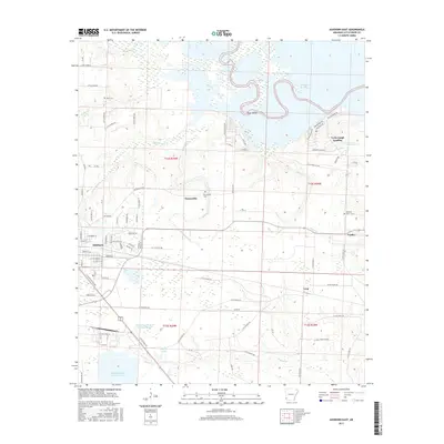
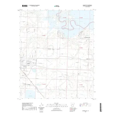
1950 Ashdown East
Little River County, AR
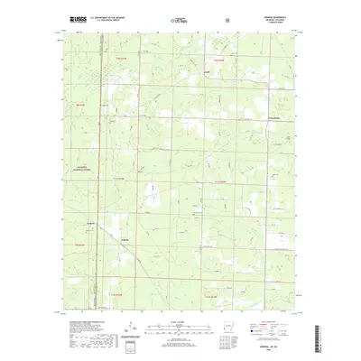
1950 Ashdown West
Little River County, AR
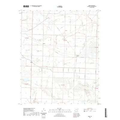
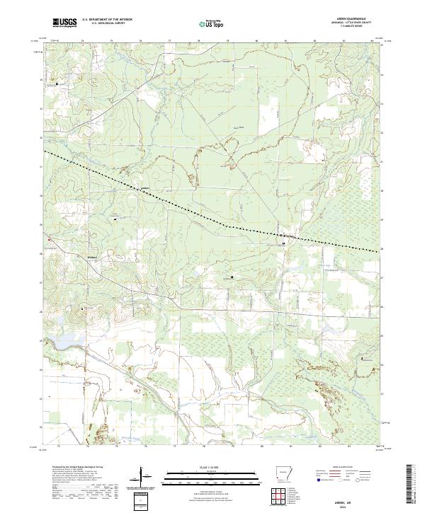
1951 Arden
Little River County, AR
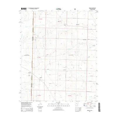
1951 Arkinda
Little River County, AR
1951 Ashdown East
Little River County, AR
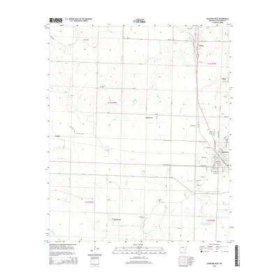
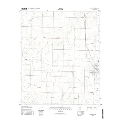
1951 Ashdown West
Little River County, AR
2011 Arden
Little River County, AR
2011 Arkinda
Little River County, AR
2011 Ashdown East
Little River County, AR
2011 Ashdown West
Little River County, AR
2014 Arden
Little River County, AR
2014 Arkinda
Little River County, AR
2014 Ashdown East
Little River County, AR
2014 Ashdown West
Little River County, AR
2017 Arden
Little River County, AR
2017 Arkinda
Little River County, AR
2017 Ashdown East
Little River County, AR
2017 Ashdown West
Little River County, AR
2020 Arden
Little River County, AR
2020 Arkinda
Little River County, AR
2020 Ashdown East
Little River County, AR
2020 Ashdown West
Little River County, AR
2024 Arden
Little River County, AR

2024 Arkinda
Little River County, AR
2024 Ashdown East
Little River County, AR
2024 Ashdown West
Little River County, AR