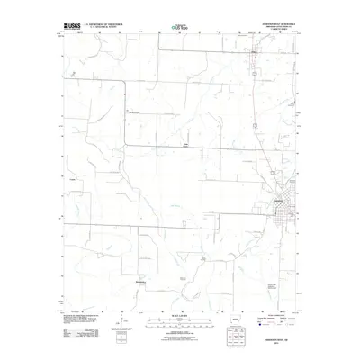
2011 Map of Ashdown West
USGS Topo · Published 2011About this map
The county seat of Ashdown and the surrounding timber and agricultural lands of Little River County are meticulously detailed in this 2011 survey. The town's grid is anchored by the Ashdown Post Office and extends toward Ashdown Cemetery to the northeast. To the north and south, the settlements of Wilton and Richmond are connected by a network of rural roads, including several routes designated as Little River county roads.
Find a feature on this map
74 named features on this map. Tap any name to fly to it.
Don’t see what you’re looking for? This feature index may not catch every label — zoom into the map to look around manually.
Map Details
Editions of this 2011 Ashdown West Map
This is the sole edition of this map. No revisions or reprints were ever made.
Other maps of this area

1950 · Redbank
USGS Topo · 1:24,000

1950 · Ashdown East
USGS Topo · 1:24,000

1950 · Ashdown West
USGS Topo · 1:24,000

1950 · Ogden
USGS Topo · 1:24,000

1950 · Ben Lomond
USGS Topo · 1:24,000

1950 · Barkman
USGS Topo · 1:24,000

1950 · Falls Chapel
USGS Topo · 1:24,000

1950 · Winthrop
USGS Topo · 1:24,000

1951 · Winthrop
USGS Topo · 1:24,000

1951 · Redbank
USGS Topo · 1:24,000