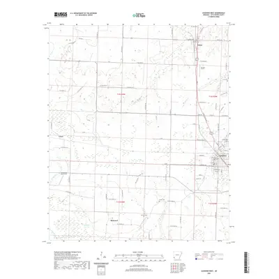
2020 Map of Ashdown West
USGS Topo · Published 2020About this map
Ashdown serves as the regional hub for this portion of southwest Arkansas, centered around the Little River County Courthouse and a grid of residential streets like W Locke St and E Main St. The landscape transitions from the developed center of the county seat into the expansive agricultural and marshy lowlands of the Little River basin. Smaller communities and rural crossroads such as Wilton, Richmond, and Comet dot the surrounding territory, each connected by a network of local routes like Stone Rd and Old Box Factory Rd. Genealogy and local history are particularly well-represented through numerous burial grounds, including Wilton Cem, Oak Hill Cem, and Rhodes Cem. The map also documents local aviation infrastructure at Garrison Airport and Sandy Ridge Farms Airport, reflecting the region's modern economic ties to both transportation and large-scale farming.
Find a feature on this map
89 named features on this map. Tap any name to fly to it.
Don’t see what you’re looking for? This feature index may not catch every label — zoom into the map to look around manually.
Map Details
Editions of this 2020 Ashdown West Map
This is the sole edition of this map. No revisions or reprints were ever made.
Other maps of this area

1950 · Redbank
USGS Topo · 1:24,000

1950 · Ashdown East
USGS Topo · 1:24,000

1950 · Ashdown West
USGS Topo · 1:24,000

1950 · Ogden
USGS Topo · 1:24,000

1950 · Ben Lomond
USGS Topo · 1:24,000

1950 · Barkman
USGS Topo · 1:24,000

1950 · Falls Chapel
USGS Topo · 1:24,000

1950 · Winthrop
USGS Topo · 1:24,000

1951 · Winthrop
USGS Topo · 1:24,000

1951 · Redbank
USGS Topo · 1:24,000