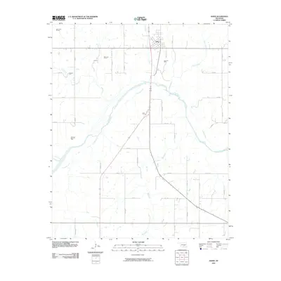
2009 Map of Asher
USGS Topo · Published 2009About this map
The town of Asher serves as the primary hub in this Pottawatomie County landscape, situated just north of a significant bend in the Canadian River. This era of the region is defined by its energy production, evidenced by a series of named petroleum resources including the Asher Oil Field, West Asher Oil Field, and Rover Oil Field. These fields are scattered across a terrain drained by numerous watercourses such as Cat Creek, Chism Creek, and Big Creek.
Find a feature on this map
38 named features on this map. Tap any name to fly to it.
Don’t see what you’re looking for? This feature index may not catch every label — zoom into the map to look around manually.
Map Details
Editions of this 2009 Asher Map
This is the sole edition of this map. No revisions or reprints were ever made.
Other maps of this area

1896 · Seminole and Prague
USGS Topo · 1:125,000

1898 · Purcell
USGS Topo · 1:125,000

1898 · Pauls Valley
USGS Topo · 1:125,000

1901 · Stonewall
USGS Topo · 1:125,000

1902 · Pauls Valley
USGS Topo · 1:125,000

1907 · Maud
USGS Topo · 1:62,500

1908 · Maud
USGS Topo · 1:62,500

1910 · McComb
USGS Topo · 1:62,500

1954 · Oklahoma City
USGS Topo · 1:250,000

1957 · Ardmore
USGS Topo · 1:250,000