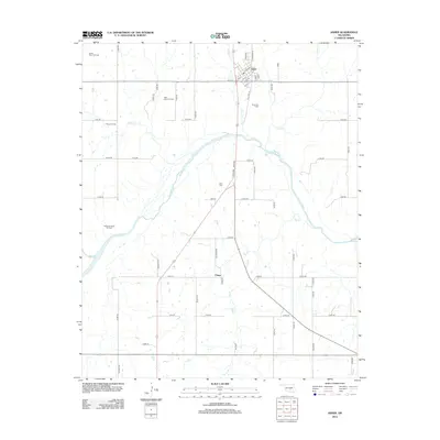
2012 Map of Asher
USGS Topo · Published 2012About this map
The town of Asher serves as the primary hub of this landscape, situated at the convergence of several local roads including Old Hwy 18 and W Main St. The settlement pattern reflects the area's dual identity as both an agricultural and industrial territory, where residential grids give way to widespread energy extraction. The prevalence of the Asher Oil Field, along with the West Asher Oil Field and North Rover Oil Field, indicates a region deeply tied to the petroleum industry during this early 21st-century period.
Find a feature on this map
60 named features on this map. Tap any name to fly to it.
Don’t see what you’re looking for? This feature index may not catch every label — zoom into the map to look around manually.
Map Details
Editions of this 2012 Asher Map
This is the sole edition of this map. No revisions or reprints were ever made.
Other maps of this area

1896 · Seminole and Prague
USGS Topo · 1:125,000

1898 · Purcell
USGS Topo · 1:125,000

1898 · Pauls Valley
USGS Topo · 1:125,000

1901 · Stonewall
USGS Topo · 1:125,000

1902 · Pauls Valley
USGS Topo · 1:125,000

1907 · Maud
USGS Topo · 1:62,500

1908 · Maud
USGS Topo · 1:62,500

1910 · McComb
USGS Topo · 1:62,500

1954 · Oklahoma City
USGS Topo · 1:250,000

1957 · Ardmore
USGS Topo · 1:250,000