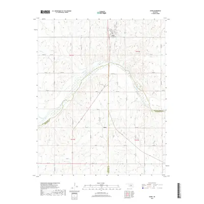
2018 Map of Asher
USGS Topo · Published 2018About this map
Asher sits at a crossroads in the northern reaches of this territory, where the terrain begins its descent toward the wide, braided path of the Canadian River. The town's grid, featuring streets like Kickapoo Rd and E Broadway St, reflects a settled agricultural community positioned just north of the river's large meander. Further south, the map documents the smaller settlement of Chism, located near the confluence of several drainage systems. This landscape is defined by the convergence of multiple county lines, where Pottawatomie, McClain, and Pontotoc counties meet amidst a network of creeks. Small-scale historical details, such as the Cook Cem situated on a rise overlooking the river valley, provide specific points of interest for genealogists tracing family roots in this corner of Oklahoma. The drainage patterns of Chism Cr and Big Cr illustrate the complex hydrology that influenced local land use and road placement.
Find a feature on this map
61 named features on this map. Tap any name to fly to it.
Don’t see what you’re looking for? This feature index may not catch every label — zoom into the map to look around manually.
Map Details
Editions of this 2018 Asher Map
This is the sole edition of this map. No revisions or reprints were ever made.
Other maps of this area

1896 · Seminole and Prague
USGS Topo · 1:125,000

1898 · Purcell
USGS Topo · 1:125,000

1898 · Pauls Valley
USGS Topo · 1:125,000

1901 · Stonewall
USGS Topo · 1:125,000

1902 · Pauls Valley
USGS Topo · 1:125,000

1907 · Maud
USGS Topo · 1:62,500

1908 · Maud
USGS Topo · 1:62,500

1910 · McComb
USGS Topo · 1:62,500

1954 · Oklahoma City
USGS Topo · 1:250,000

1957 · Ardmore
USGS Topo · 1:250,000