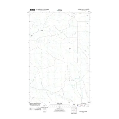
2011 Map of Ashford Coulee
USGS Topo · Published 2011About this map
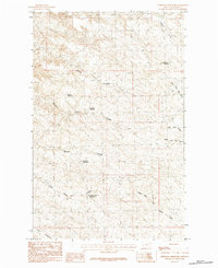
Ashford Spring serves as a critical water point in this drainage-rich portion of Valley County, where the landscape is defined by an intricate network of coulees and seasonal watercourses. This early 21st-century survey documents a ranching environment where water management is paramount, evidenced by Barnard Dam, Bear Tracks Reservoir, and Luther Reservoir. These man-made features punctuate the dry terrain, supporting local agriculture and livestock.
Find a feature on this map
14 named features on this map. Tap any name to fly to it.
Don’t see what you’re looking for? This feature index may not catch every label — zoom into the map to look around manually.
Map Details
Editions of this 2011 Ashford Coulee Map
This is the sole edition of this map. No revisions or reprints were ever made.
Other maps of this area

1905 · Saco Special
USGS Topo · 1:62,500

1906 · Hinsdale Special Map
USGS Topo · 1:62,500

1954 · Glasgow
USGS Topo · 1:250,000

1957 · Glasgow
USGS Topo · 1:250,000

1958 · Glasgow
USGS Topo · 1:250,000
1984 · Hardpan Coulee
USGS Topo · 1:24,000

1984 · Ashford Coulee
USGS Topo · 1:24,000
1984 · Saco
USGS Topo · 1:24,000
1984 · Flat Coulee
USGS Topo · 1:24,000
1984 · Christmas Reservoir
USGS Topo · 1:24,000