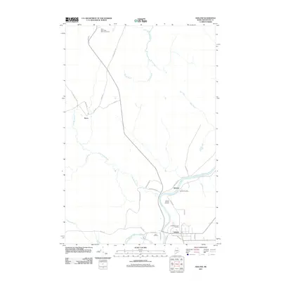
2011 Map of Ashland
USGS Topo · Published 2011About this map
The Aroostook River winds through the heart of this northern Maine landscape, serving as a focal point for the settlements of Ashland and Sheridan. This area of Aroostook County shows a distinct pattern of riverside development and timber-related transport infrastructure, with Sheridan RD and Wrightville RD connecting local residents to the water. The presence of the Sheridan Post Office and multiple burial grounds, including the Ashland Municipal Cemetery and Dunn Cemetery, provides a clear view of the community's established civic footprint.
Find a feature on this map
37 named features on this map. Tap any name to fly to it.
Don’t see what you’re looking for? This feature index may not catch every label — zoom into the map to look around manually.
Map Details
Editions of this 2011 Ashland Map
This is the sole edition of this map. No revisions or reprints were ever made.
Other maps of this area

1928 · Winterville
USGS Topo · 1:48,000

1929 · Portage
USGS Topo · 1:62,500

1930 · Greenlaw
USGS Topo · 1:48,000

1931 · Ashland
USGS Topo · 1:48,000

1931 · Portage
USGS Topo · 1:62,500

1931 · Winterville
USGS Topo · 1:62,500

1933 · Greenlaw
USGS Topo · 1:62,500

1934 · Ashland
USGS Topo · 1:62,500

1953 · Ashland
USGS Topo · 1:62,500

1953 · Portage
USGS Topo · 1:62,500