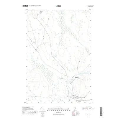
2018 Map of Ashland
USGS Topo · Published 2018About this map
The confluence of the Aroostook River and the Machias River defines the southern reach of this Maine territory, where the settlement of Ashland serves as a regional hub. Moving north through the river valley, the smaller community of Sheridan and the station at Skerry mark the historical progression of local infrastructure along the waterways and rail sidings. The landscape is deeply tied to its hydrology, with Burpee Brook, Blake Brook, and the winding Little Machias River carving through the terrain.
Find a feature on this map
39 named features on this map. Tap any name to fly to it.
Don’t see what you’re looking for? This feature index may not catch every label — zoom into the map to look around manually.
Map Details
Editions of this 2018 Ashland Map
This is the sole edition of this map. No revisions or reprints were ever made.
Other maps of this area

1928 · Winterville
USGS Topo · 1:48,000

1929 · Portage
USGS Topo · 1:62,500

1930 · Greenlaw
USGS Topo · 1:48,000

1931 · Ashland
USGS Topo · 1:48,000

1931 · Portage
USGS Topo · 1:62,500

1931 · Winterville
USGS Topo · 1:62,500

1933 · Greenlaw
USGS Topo · 1:62,500

1934 · Ashland
USGS Topo · 1:62,500

1953 · Ashland
USGS Topo · 1:62,500

1953 · Portage
USGS Topo · 1:62,500