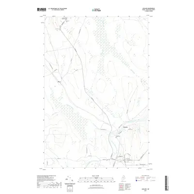
2021 Map of Ashland
USGS Topo · Published 2021About this map
The Aroostook River winds through this northern Maine landscape, serving as the primary geographical anchor for the town of Ashland. This 2021 survey details a region where river valleys and timber roads dictate the settlement pattern, including the community of Sheridan and the more isolated Skerry. The town center of Ashland is shown with its grid of streets such as Exchange St and Main St, situated near the confluence of the Machias River and the Aroostook. Local history is preserved through several family and church burial grounds, including the Sutherland Cem, McCormack Cem, and Saint Marks Catholic Cem. Aviation infrastructure is represented by the Allen St Peter Memorial Airport located along Portage Rd, while numerous waterways like Beaver Brook and the Little Machias River drain the surrounding woodlands, illustrating the enduring connection between the town's industry and its natural hydraulic network.
Find a feature on this map
44 named features on this map. Tap any name to fly to it.
Don’t see what you’re looking for? This feature index may not catch every label — zoom into the map to look around manually.
Map Details
Editions of this 2021 Ashland Map
This is the sole edition of this map. No revisions or reprints were ever made.
Other maps of this area

1928 · Winterville
USGS Topo · 1:48,000

1929 · Portage
USGS Topo · 1:62,500

1930 · Greenlaw
USGS Topo · 1:48,000

1931 · Ashland
USGS Topo · 1:48,000

1931 · Portage
USGS Topo · 1:62,500

1931 · Winterville
USGS Topo · 1:62,500

1933 · Greenlaw
USGS Topo · 1:62,500

1934 · Ashland
USGS Topo · 1:62,500

1953 · Ashland
USGS Topo · 1:62,500

1953 · Portage
USGS Topo · 1:62,500