
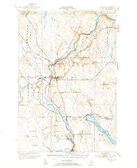
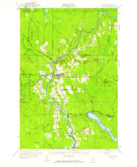
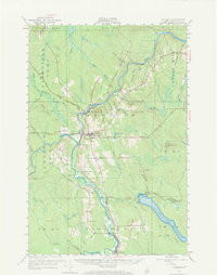
1953 Map of Ashland
USGS Topo · Published 1955About this map
The Aroostook River winds through the heart of this North Woods territory, serving as the historical backbone for the timber and rail economy of the mid-20th century. The settlement of Ashland stands as the primary hub, where the High Sch and local industry concentrated near the riverbanks. To the north and south, the villages of Sheridan and Masardis mark the continued importance of the valley for settlement, while the Bangor and Aroostook railroad connects these communities through specialized stops like Trafton Siding and Nowland Siding.
Find a feature on this map
56 named features on this map. Tap any name to fly to it.
Don’t see what you’re looking for? This feature index may not catch every label — zoom into the map to look around manually.
Map Details
Editions of this 1953 Ashland Map
4 editions found
Other maps of this area

1928 · Winterville
USGS Topo · 1:48,000

1929 · Portage
USGS Topo · 1:62,500

1929 · Caribou
USGS Topo · 1:48,000

1930 · Greenlaw
USGS Topo · 1:48,000

1931 · Ashland
USGS Topo · 1:48,000

1931 · Portage
USGS Topo · 1:62,500

1931 · Winterville
USGS Topo · 1:62,500

1932 · Caribou
USGS Topo · 1:62,500

1933 · Greenlaw
USGS Topo · 1:62,500

1934 · Ashland
USGS Topo · 1:62,500