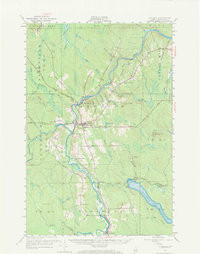
1953 Map of Ashland
USGS Topo · Published 1973About this map
The Aroostook River winds through the heart of northern Maine, anchoring a landscape defined by the timber and rail economy of the mid-20th century. This survey highlights the village of Ashland, where the local High Sch and numerous dwellings mark a hub of activity. Further south, the settlement of Masardis and the isolated No 6 Camp illustrate the range of forest-based habitation. The industrial backbone of the region is visible in the Bangor and Aroostook railroad line, which services critical rail-side locations such as Trafton Siding, Nowland Siding, and Midway Siding. Topography is varied, featuring landmarks like Castle Hill and Nowland Hill overlooking Squa Pan Lake. Genealogists will find significant detail in the locations of family-associated burial grounds, including the Dunn Cem near Sheridan and the Winslow Cem further downstream, providing a clear record of local lineage and early settlement patterns.
Find a feature on this map
55 named features on this map. Tap any name to fly to it.
Don’t see what you’re looking for? This feature index may not catch every label — zoom into the map to look around manually.
Map Details
Editions of this 1953 Ashland Map
4 editions found

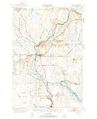
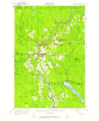
Other maps of this area

1928 · Winterville
USGS Topo · 1:48,000

1929 · Portage
USGS Topo · 1:62,500

1929 · Caribou
USGS Topo · 1:48,000

1930 · Greenlaw
USGS Topo · 1:48,000

1931 · Ashland
USGS Topo · 1:48,000

1931 · Portage
USGS Topo · 1:62,500

1931 · Winterville
USGS Topo · 1:62,500

1932 · Caribou
USGS Topo · 1:62,500

1933 · Greenlaw
USGS Topo · 1:62,500

1934 · Ashland
USGS Topo · 1:62,500