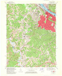
1968 Map of Ashland
USGS Topo · Published 1970About this map
Industrial and urban development along the Ohio River characterizes this late-1960s landscape, centered on the expansion of Ashland. The map reveals a dense network of civic and educational institutions, from Holy Family Sch to the Ashland Vocational Sch, alongside major transit corridors like the Chesapeake and Ohio Railway. Beyond the city limits, the terrain shifts into the heavily mined hills of the East Fork Little Sandy River valley, where numerous Strip Mines and gas wells mark the region's reliance on extraction.
Find a feature on this map
104 named features on this map. Tap any name to fly to it.
Don’t see what you’re looking for? This feature index may not catch every label — zoom into the map to look around manually.
Map Details
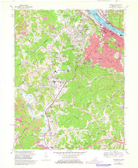
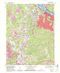
Editions of this 1968 Ashland Map
3 editions found
Other maps of this area

1898 · Ironton
USGS Topo · 1:62,500

1900 · Ironton
USGS Topo · 1:62,500

1901 · Ceredo
USGS Topo · 1:62,500

1903 · Kenova
USGS Topo · 1:125,000

1904 · Kenova
USGS Topo · 1:125,000

1913 · Ceredo
USGS Topo · 1:62,500

1926 · Greenup
USGS Topo · 1:48,000

1930 · Greenup
USGS Topo · 1:62,500

1953 · Rush
USGS Topo · 1:24,000

1953 · Boltsfork
USGS Topo · 1:24,000