
1954 Map of Ashland
USGS Topo · Published 1956About this map
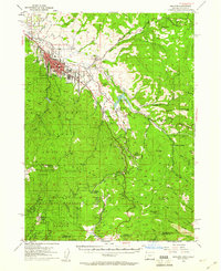
Ashland serves as the focal point for this 1950s survey, illustrating the town's position as an educational and transit hub in Jackson County. The footprint of Southern Oregon College and the local HS stand out within the urban grid, while the Southern Pacific RR snakes through the valley following the course of Bear Creek. Outside the city center, the landscape transitions into the steep terrain of the Rogue River National Forest and Klamath National Forest, with Emigrant Reservoir providing a significant water management feature for the region's agricultural and domestic needs.
Find a feature on this map
64 named features on this map. Tap any name to fly to it.
Don’t see what you’re looking for? This feature index may not catch every label — zoom into the map to look around manually.
Map Details
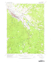
Editions of this 1954 Ashland Map
3 editions found
Other maps of this area

1886 · Shasta
USGS Topo · 1:250,000

1891 · Ashland
USGS Topo · 1:250,000

1893 · Ashland
USGS Topo · 1:250,000

1894 · Shasta
USGS Topo · 1:250,000

1897 · Ashland
USGS Topo · 1:250,000

1922 · Shasta Valley Sheet No 15
USGS Topo · 1:24,000

1932 · Yreka
USGS Topo · 1:96,000

1934 · Macdoel
USGS Topo · 1:96,000

1938 · Medford
USGS Topo · 1:125,000

1939 · Yreka
USGS Topo · 1:125,000