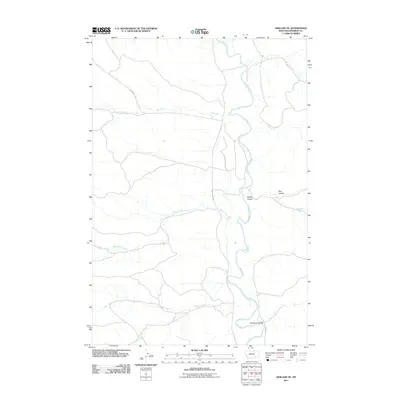
2011 Map of Ashland NE
USGS Topo · Published 2011About this map
The Tongue River meanders through the heart of Rosebud County, Montana, defining a landscape shaped by narrow drainages and named coulees. This 2011 survey illustrates the rural infrastructure of the Ashland District, where Tongue River Rd and Greenleaf Rd follow the natural contours of the river valley. The map is particularly detailed in its naming of local water sources and topographic depressions, which were essential landmarks for ranching and travel in this semi-arid region.
Find a feature on this map
14 named features on this map. Tap any name to fly to it.
Don’t see what you’re looking for? This feature index may not catch every label — zoom into the map to look around manually.
Map Details
Editions of this 2011 Ashland NE Map
This is the sole edition of this map. No revisions or reprints were ever made.
Other maps of this area

1954 · Hardin
USGS Topo · 1:250,000

1957 · Hardin
USGS Topo · 1:250,000

1958 · Hardin
USGS Topo · 1:250,000

1958 · Garfield Peak
USGS Topo · 1:24,000

1958 · Hollowwood Creek
USGS Topo · 1:24,000

1966 · Ashland
USGS Topo · 1:24,000

1966 · Cook Creek Reservoir
USGS Topo · 1:24,000

1966 · Willow Crossing
USGS Topo · 1:24,000

1966 · Ashland NE
USGS Topo · 1:24,000

1971 · Hammond Draw
USGS Topo · 1:24,000