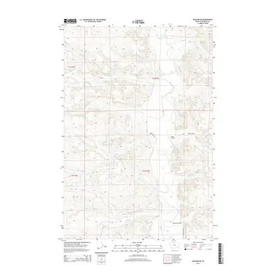
2014 Map of Ashland NE
USGS Topo · Published 2014About this map
The Tongue River valley carves through the Ashland District of Rosebud County, defining a landscape of complex drainage systems and named springs. This modern survey illustrates the intricate network of coulees, including Rice Coulee, Colbert Coulee, and Double E Coulee, which channel runoff from the high ground into the primary river corridor. The presence of several specifically cataloged water sources like Wakefield Spring and multiple unnamed springs designated by township and range coordinates speaks to the critical importance of water rights and management in this part of Montana.
Find a feature on this map
26 named features on this map. Tap any name to fly to it.
Don’t see what you’re looking for? This feature index may not catch every label — zoom into the map to look around manually.
Map Details
Editions of this 2014 Ashland NE Map
This is the sole edition of this map. No revisions or reprints were ever made.
Other maps of this area

1954 · Hardin
USGS Topo · 1:250,000

1957 · Hardin
USGS Topo · 1:250,000

1958 · Hardin
USGS Topo · 1:250,000

1958 · Garfield Peak
USGS Topo · 1:24,000

1958 · Hollowwood Creek
USGS Topo · 1:24,000

1966 · Ashland
USGS Topo · 1:24,000

1966 · Cook Creek Reservoir
USGS Topo · 1:24,000

1966 · Willow Crossing
USGS Topo · 1:24,000

1966 · Ashland NE
USGS Topo · 1:24,000

1971 · Hammond Draw
USGS Topo · 1:24,000