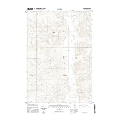
2017 Map of Ashland NE
USGS Topo · Published 2017About this map
The Tongue River meanders through the heart of this Rosebud County landscape, defining the topography between the broken highlands and the river valley. This modern survey illustrates the persistent rural character of the region, where naming conventions like Wagon Trail Ln and Amish Ln hint at the area's cultural and transit history. The terrain is marked by significant drainages and seasonal coulees, including Colbert Coulee, Rice Coulee, and Double E Coulee. For those researching local geography, the map provides precise locations for water sources such as Wakefield Spring and several named tributaries like Reservation Cr and Stebbins Cr. The network of secondary routes, including Greenleaf Rd and Tongue River Rd, follows the natural contours of the valley, reflecting the enduring ranching and agricultural orientation of the Ashland District.
Find a feature on this map
23 named features on this map. Tap any name to fly to it.
Don’t see what you’re looking for? This feature index may not catch every label — zoom into the map to look around manually.
Map Details
Editions of this 2017 Ashland NE Map
This is the sole edition of this map. No revisions or reprints were ever made.
Other maps of this area

1954 · Hardin
USGS Topo · 1:250,000

1957 · Hardin
USGS Topo · 1:250,000

1958 · Hardin
USGS Topo · 1:250,000

1958 · Garfield Peak
USGS Topo · 1:24,000

1958 · Hollowwood Creek
USGS Topo · 1:24,000

1966 · Ashland
USGS Topo · 1:24,000

1966 · Cook Creek Reservoir
USGS Topo · 1:24,000

1966 · Willow Crossing
USGS Topo · 1:24,000

1966 · Ashland NE
USGS Topo · 1:24,000

1971 · Hammond Draw
USGS Topo · 1:24,000