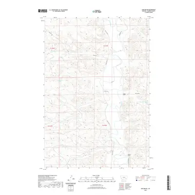
2020 Map of Ashland NE
USGS Topo · Published 2020About this map
The Tongue River meanders through a landscape defined by deep coulees and seasonal drainage systems in this eastern Montana quadrangle. Named tributaries such as Reservation Cr, Burning Cr, and Stebbins Cr feed into the river valley, reflecting the importance of water sources in this semi-arid environment. Several named water points, including Wakefield Spring and several numbered springs like 02S44E12BCCA01 Spring, are scattered across the terrain, serving as critical landmarks for local land use.
Find a feature on this map
27 named features on this map. Tap any name to fly to it.
Don’t see what you’re looking for? This feature index may not catch every label — zoom into the map to look around manually.
Map Details
Editions of this 2020 Ashland NE Map
This is the sole edition of this map. No revisions or reprints were ever made.
Other maps of this area

1954 · Hardin
USGS Topo · 1:250,000

1957 · Hardin
USGS Topo · 1:250,000

1958 · Hardin
USGS Topo · 1:250,000

1958 · Garfield Peak
USGS Topo · 1:24,000

1958 · Hollowwood Creek
USGS Topo · 1:24,000

1966 · Ashland
USGS Topo · 1:24,000

1966 · Cook Creek Reservoir
USGS Topo · 1:24,000

1966 · Willow Crossing
USGS Topo · 1:24,000

1966 · Ashland NE
USGS Topo · 1:24,000

1971 · Hammond Draw
USGS Topo · 1:24,000