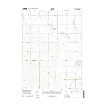
2014 Map of Ashland West
USGS Topo · Published 2014About this map
Ashland occupies the southeastern corner of this Nebraska quadrangle, situated where several counties converge. The landscape is defined by the complex drainage of Salt Creek and its many tributaries, including Wahoo Creek and Silver Creek, which meander through a grid of section roads. North of the main settlement, the community of Memphis sits adjacent to Memphis Lake, serving as a distinct focal point in this agricultural region.
Find a feature on this map
52 named features on this map. Tap any name to fly to it.
Don’t see what you’re looking for? This feature index may not catch every label — zoom into the map to look around manually.
Map Details
Editions of this 2014 Ashland West Map
This is the sole edition of this map. No revisions or reprints were ever made.
Other maps of this area

1893 · Fremont
USGS Topo · 1:125,000

1896 · Fremont
USGS Topo · 1:125,000

1897 · Lincoln
USGS Topo · 1:125,000

1899 · Wahoo
USGS Topo · 1:125,000

1903 · Weeping Water
USGS Topo · 1:125,000

1929 · Weeping Water
USGS Topo · 1:125,000

1955 · Fremont
USGS Topo · 1:250,000

1955 · Lincoln
USGS Topo · 1:250,000

1957 · Fremont
USGS Topo · 1:250,000

1957 · Lincoln
USGS Topo · 1:250,000