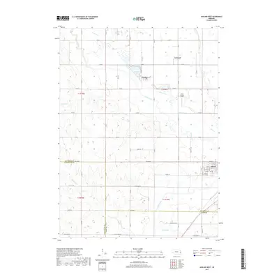
2017 Map of Ashland West
USGS Topo · Published 2017About this map
Ashland and Memphis anchor this landscape where the borders of Saunders, Lancaster, and Cass counties meet. The terrain is defined by a dense network of waterways, including Wahoo Creek, Silver Creek, and Little Salt Creek, which carve through the agricultural sections and influence the local road grid. The presence of Memphis Lake and various smaller drainage branches like Robinson Br and Callahan Cr underscore the region's riparian character.
Find a feature on this map
60 named features on this map. Tap any name to fly to it.
Don’t see what you’re looking for? This feature index may not catch every label — zoom into the map to look around manually.
Map Details
Editions of this 2017 Ashland West Map
This is the sole edition of this map. No revisions or reprints were ever made.
Other maps of this area

1893 · Fremont
USGS Topo · 1:125,000

1896 · Fremont
USGS Topo · 1:125,000

1897 · Lincoln
USGS Topo · 1:125,000

1899 · Wahoo
USGS Topo · 1:125,000

1903 · Weeping Water
USGS Topo · 1:125,000

1929 · Weeping Water
USGS Topo · 1:125,000

1955 · Fremont
USGS Topo · 1:250,000

1955 · Lincoln
USGS Topo · 1:250,000

1957 · Fremont
USGS Topo · 1:250,000

1957 · Lincoln
USGS Topo · 1:250,000