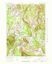
1958 Map of Ashley Falls
USGS Topo · Published 1978About this map
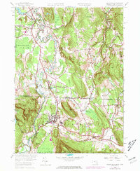
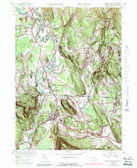
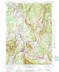
The Housatonic River and its major tributaries, the Konkapot River and Blackberry River, anchor this survey of the Massachusetts-Connecticut borderlands during a period of transition. The river network, which historically powered local mills, remains the defining geographical feature, winding through the broad Barnum Street Swamp and Robbins Swamp. Industrial and community life is centered on Ashley Falls and Canaan, where the Penn Central rail line tracks the valley floor. Regional development is evident in the mid-century expansion of the Berkshire School and the Mt Everett Regional Sch, alongside cultural markers like a Drive-in Theater near the state line. Extensive fence and field lines, captured from 1940s aerial photography and updated in the 1960s, provide a rare look at the agricultural footprint surrounding Sheffield Plain and East Canaan before modern land-use changes altered the rural landscape.
Find a feature on this map
74 named features on this map. Tap any name to fly to it.
Don’t see what you’re looking for? This feature index may not catch every label — zoom into the map to look around manually.
Map Details
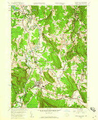
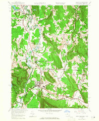
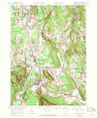
Editions of this 1958 Ashley Falls Map
7 editions found
Other maps of this area

1885 · Sheffield
USGS Topo · 1:62,500

1888 · Sheffield
USGS Topo · 1:62,500

1888 · Sandisfield
USGS Topo · 1:62,500

1891 · Sheffield
USGS Topo · 1:62,500

1892 · Winsted
USGS Topo · 1:62,500

1892 · Cornwall
USGS Topo · 1:62,500

1893 · Sheffield
USGS Topo · 1:62,500

1893 · Cornwall
USGS Topo · 1:62,500

1893 · Sandisfield
USGS Topo · 1:62,500

1897 · Sandisfield
USGS Topo · 1:62,500