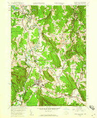
1958 Map of Ashley Falls
USGS Topo · Published 1959About this map
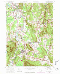
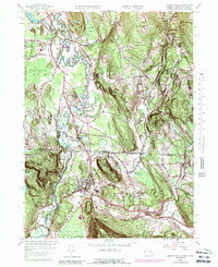
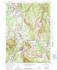
The Housatonic River snakes through the borderlands of Massachusetts and Connecticut, defining a valley landscape dominated by floodplains and industry in the late 1950s. The New York New Haven and Hartford railroad tracks parallel the river, connecting established village centers like Sheffield and Canaan. The mapping highlights the transition from the wetlands of Robbins Swamp and Barnum Street Swamp to the upland terrain of Rattlesnake Hill and Alum Hill. Local life is anchored by institutional landmarks such as the Berkshire School and a Drive-in Theater near the state line, while older historical layers are visible in the Center Cem and Mill River Cem. The geography of the Konkapot River and Blackberry River confluence illustrates the natural drainage patterns that shaped the early settlement of Ashley Falls and its surrounding agricultural reaches.
Find a feature on this map
57 named features on this map. Tap any name to fly to it.
Don’t see what you’re looking for? This feature index may not catch every label — zoom into the map to look around manually.
Map Details
Editions of this 1958 Ashley Falls Map
7 editions found
Other maps of this area

1885 · Sheffield
USGS Topo · 1:62,500

1888 · Sheffield
USGS Topo · 1:62,500

1888 · Sandisfield
USGS Topo · 1:62,500

1891 · Sheffield
USGS Topo · 1:62,500

1892 · Winsted
USGS Topo · 1:62,500

1892 · Cornwall
USGS Topo · 1:62,500

1893 · Sheffield
USGS Topo · 1:62,500

1893 · Cornwall
USGS Topo · 1:62,500

1893 · Sandisfield
USGS Topo · 1:62,500

1897 · Sandisfield
USGS Topo · 1:62,500