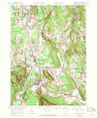
1958 Map of Ashley Falls
USGS Topo · Published 1971About this map
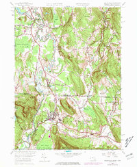
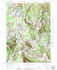
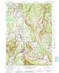
The Housatonic River meanders across the border between Massachusetts and Connecticut, anchoring a landscape defined by riverside settlements and the Penn Central rail line. This mid-century survey captures the tri-state corner region during a period of transition, where established agricultural centers like Sheffield and Canaan maintain their traditional footprints alongside newer landmarks like the Drive-in Theater near the state line. The map detail highlights the complex drainage patterns of the valley, from the Barnum Street Swamp to the confluence of the Konkapot River and Blackberry River.
Find a feature on this map
54 named features on this map. Tap any name to fly to it.
Don’t see what you’re looking for? This feature index may not catch every label — zoom into the map to look around manually.
Map Details
Editions of this 1958 Ashley Falls Map
7 editions found
Other maps of this area

1885 · Sheffield
USGS Topo · 1:62,500

1888 · Sheffield
USGS Topo · 1:62,500

1888 · Sandisfield
USGS Topo · 1:62,500

1891 · Sheffield
USGS Topo · 1:62,500

1892 · Winsted
USGS Topo · 1:62,500

1892 · Cornwall
USGS Topo · 1:62,500

1893 · Sheffield
USGS Topo · 1:62,500

1893 · Cornwall
USGS Topo · 1:62,500

1893 · Sandisfield
USGS Topo · 1:62,500

1897 · Sandisfield
USGS Topo · 1:62,500