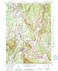
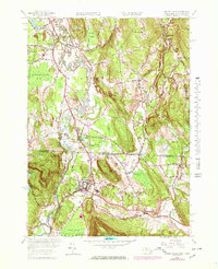
1958 Map of Ashley Falls
USGS Topo · Published 1991About this map
The Housatonic River winds through the borderlands of Massachusetts and Connecticut, anchoring a landscape where river-bottom agriculture and early industry met. The village of Ashley Falls serves as a central hub near the state line, while Canaan to the south shows the dense street grid and rail infrastructure of a bustling border town. This 1958 survey, updated with 1969 data, shows the Penn Central railroad following the river valley, serving the industrial corridor through East Canaan.
Find a feature on this map
48 named features on this map. Tap any name to fly to it.
Don’t see what you’re looking for? This feature index may not catch every label — zoom into the map to look around manually.
Map Details
Editions of this 1958 Ashley Falls Map
7 editions found
Other maps of this area

1885 · Sheffield
USGS Topo · 1:62,500

1888 · Sheffield
USGS Topo · 1:62,500

1888 · Sandisfield
USGS Topo · 1:62,500

1891 · Sheffield
USGS Topo · 1:62,500

1892 · Winsted
USGS Topo · 1:62,500

1892 · Cornwall
USGS Topo · 1:62,500

1893 · Sheffield
USGS Topo · 1:62,500

1893 · Cornwall
USGS Topo · 1:62,500

1893 · Sandisfield
USGS Topo · 1:62,500

1897 · Sandisfield
USGS Topo · 1:62,500