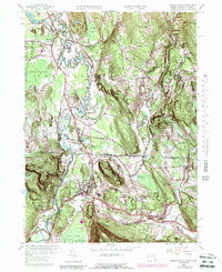
1958 Map of Ashley Falls
USGS Topo · Published 1988About this map
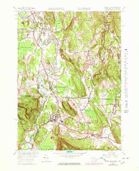
The Housatonic River snakes through this borderland valley, defining the landscape between Sheffield, Massachusetts, and Canaan, Connecticut. In the late 1950s, the Penn Central railroad serves as a primary north-south corridor, passing through the heart of Ashley Falls and near the expansive Barnum Street Swamp. Local life is anchored by traditional institutions such as the Center Ch and Mt Everett Regional Sch, while the presence of a Drive-in Theater near the state line reflects mid-century social trends. The topography is characterized by prominent elevations like Little Johnny Mtn and Benton Hill, which overlook a network of smaller waterways including the Konkapot River and Blackberry River. Smaller clusters like Sodom and Clayton reveal the distributed nature of historical rural settlement across the Berkshire and Litchfield county lines.
Find a feature on this map
55 named features on this map. Tap any name to fly to it.
Don’t see what you’re looking for? This feature index may not catch every label — zoom into the map to look around manually.
Map Details
Editions of this 1958 Ashley Falls Map
7 editions found
Other maps of this area

1885 · Sheffield
USGS Topo · 1:62,500

1888 · Sheffield
USGS Topo · 1:62,500

1888 · Sandisfield
USGS Topo · 1:62,500

1891 · Sheffield
USGS Topo · 1:62,500

1892 · Winsted
USGS Topo · 1:62,500

1892 · Cornwall
USGS Topo · 1:62,500

1893 · Sheffield
USGS Topo · 1:62,500

1893 · Cornwall
USGS Topo · 1:62,500

1893 · Sandisfield
USGS Topo · 1:62,500

1897 · Sandisfield
USGS Topo · 1:62,500