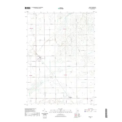
2019 Map of Ashley
USGS Topo · Published 2019About this map
The village of Ashley and the community of Bannister anchor this Gratiot County landscape, illustrating a classic rural Michigan grid defined by agricultural land and complex water management. The area is heavily marked by its hydrology, where natural features like the Maple River and Potato Cr are augmented by an extensive system of engineered channels, including the specifically named Drain Number One Hundred Fourty-two and Limbocker Drain. This network reflects the region's historical reliance on effective drainage for farming.
Find a feature on this map
47 named features on this map. Tap any name to fly to it.
Don’t see what you’re looking for? This feature index may not catch every label — zoom into the map to look around manually.
Map Details
Editions of this 2019 Ashley Map
This is the sole edition of this map. No revisions or reprints were ever made.
Other maps of this area

1918 · Elsie
USGS Topo · 1:62,500

1918 · Perrinton
USGS Topo · 1:62,500

1934 · Merrill
USGS Topo · 1:62,500

1935 · Alma
USGS Topo · 1:62,500

1937 · Merrill
USGS Topo · 1:62,500

1938 · Alma
USGS Topo · 1:62,500

1943 · Perrinton
USGS Topo · 1:62,500

1943 · Elsie
USGS Topo · 1:62,500

1954 · Midland
USGS Topo · 1:250,000

1958 · Midland
USGS Topo · 1:250,000