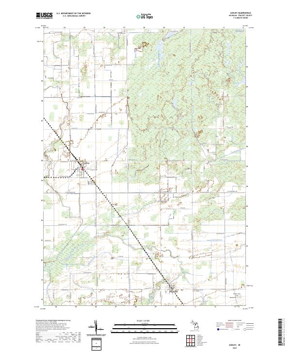
2023 Map of Ashley
USGS Topo · Published 2023About this map
Ashley and Bannister anchor this Gratiot County landscape, where a dense network of agricultural waterways and natural streams defines the local geography. The winding Maple River and the South Fork Bad River traverse the southern portion of the sheet, supplemented by a sophisticated drainage system including Newsom Drain and Drain Number One Hundred Forty-two. This intricate hydrography highlights the region's long-standing reliance on water management to support its productive farm acreage.
Find a feature on this map
50 named features on this map. Tap any name to fly to it.
Don’t see what you’re looking for? This feature index may not catch every label — zoom into the map to look around manually.
Map Details
Editions of this 2023 Ashley Map
This is the sole edition of this map. No revisions or reprints were ever made.
Other maps of this area

1918 · Elsie
USGS Topo · 1:62,500

1918 · Perrinton
USGS Topo · 1:62,500

1934 · Merrill
USGS Topo · 1:62,500

1935 · Alma
USGS Topo · 1:62,500

1937 · Merrill
USGS Topo · 1:62,500

1938 · Alma
USGS Topo · 1:62,500

1943 · Perrinton
USGS Topo · 1:62,500

1943 · Elsie
USGS Topo · 1:62,500

1954 · Midland
USGS Topo · 1:250,000

1958 · Midland
USGS Topo · 1:250,000