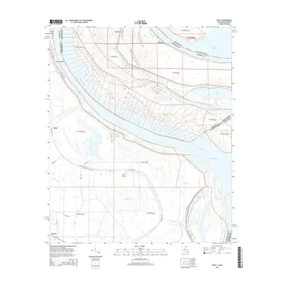
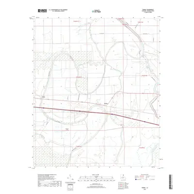
2024 Map of Ashly
USGS Topo · Published 2024About this map
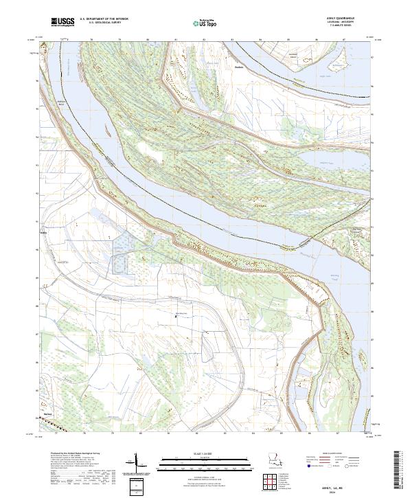
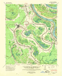
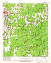
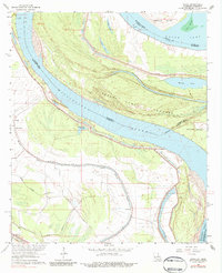
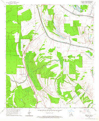
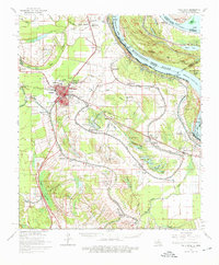
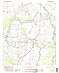
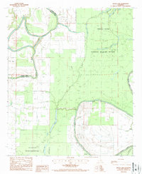
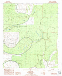
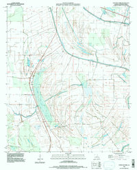
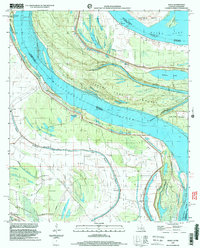
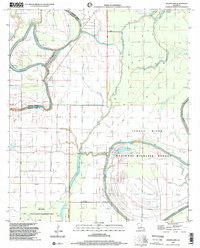
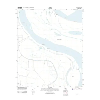
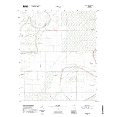
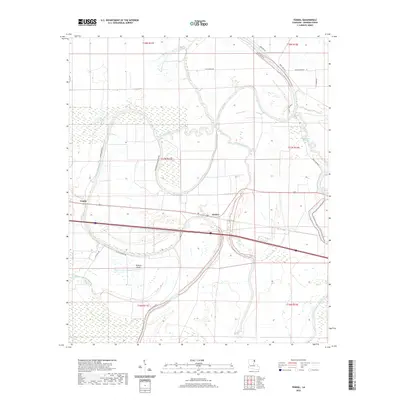
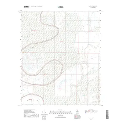
The Mississippi River winds through this alluvial landscape on the border of Louisiana and Mississippi, defining a terrain shaped by historical flooding and river migration. Evidence of the river's changing course is visible in features like the Marshall Cutoff and the Forest Home Chute, while the Cabin Teele Crevasse indicates a specific point of past levee failure. The map covers a segment of Madison Parish and Warren County, where agricultural lands are protected by an extensive levee system. Small settlements like Ashly, Peelers, and Barnes anchor the rural road network, which includes Thomastown Rd and Duckport Rd. Genealogists may find interest in the Glen Mary Cem located near the center of the survey. The geography is further defined by substantial water bodies such as Eagle Lake and Grassy Lake, along with the prominent Australia Island situated in a large river bend.
Find a feature on this map
40 named features on this map. Tap any name to fly to it.
Don’t see what you’re looking for? This feature index may not catch every label — zoom into the map to look around manually.
Map Details
Editions of this 2024 Ashly Map
This is the sole edition of this map. No revisions or reprints were ever made.
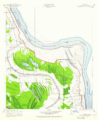
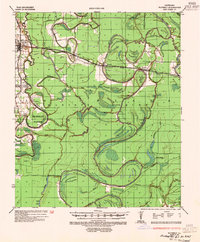
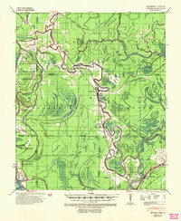
Historical Maps of Ashly Through Time
39 maps found
1909 Millikens Bend
Madison Parish, LA
1935 Waverly
Madison Parish, LA
1939 Onward
Madison Parish, LA
1939 Talla Bena
Madison Parish, LA
1961 Waverly
Madison Parish, LA
1963 Ashly
Madison Parish, LA
1963 Fortune Fork
Madison Parish, LA
1965 Talla Bena
Madison Parish, LA
1986 Tendal
Madison Parish, LA
1987 Indian Lake
Madison Parish, LA
1987 Waverly SE
Madison Parish, LA
1994 Fortune Fork
Madison Parish, LA
1998 Ashly
Madison Parish, LA
1998 Indian Lake
Madison Parish, LA
2012 Ashly
Madison Parish, LA
2012 Fortune Fork
Madison Parish, LA
2012 Indian Lake
Madison Parish, LA
2012 Tendal
Madison Parish, LA
2012 Waverly SE
Madison Parish, LA
2015 Ashly
Madison Parish, LA
2015 Fortune Fork
Madison Parish, LA
2015 Indian Lake
Madison Parish, LA
2015 Tendal
Madison Parish, LA
2015 Waverly SE
Madison Parish, LA
2018 Ashly
Madison Parish, LA
2018 Fortune Fork
Madison Parish, LA
2018 Indian Lake
Madison Parish, LA
2018 Tendal
Madison Parish, LA
2018 Waverly SE
Madison Parish, LA
2020 Ashly
Madison Parish, LA
2020 Fortune Fork
Madison Parish, LA
2020 Indian Lake
Madison Parish, LA
2020 Tendal
Madison Parish, LA
2020 Waverly SE
Madison Parish, LA
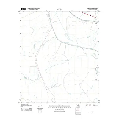
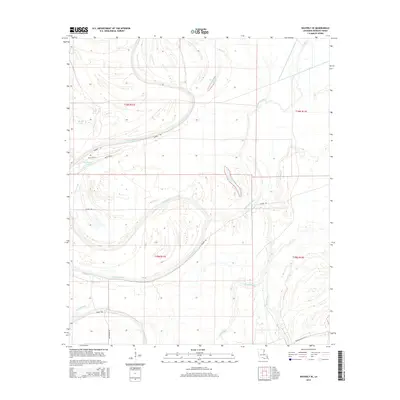
2024 Ashly
Madison Parish, LA
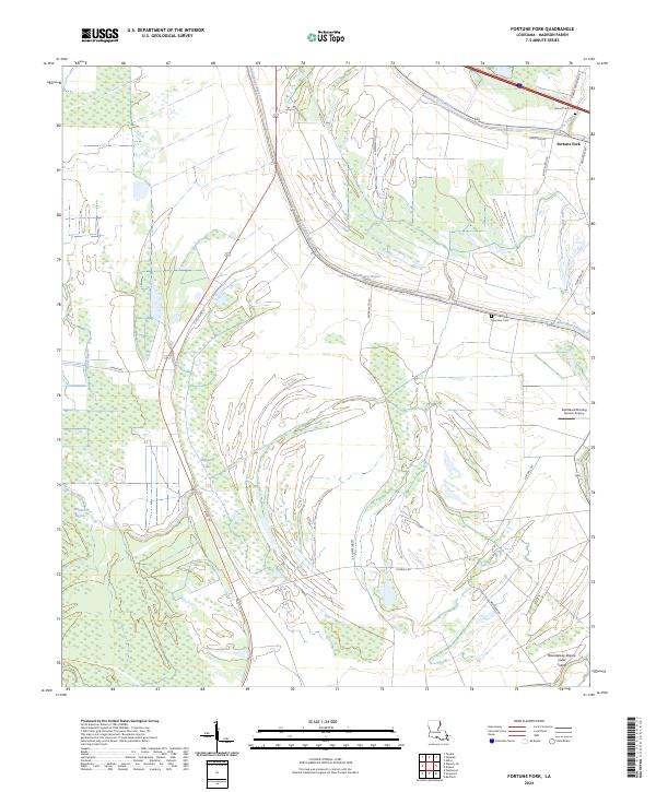
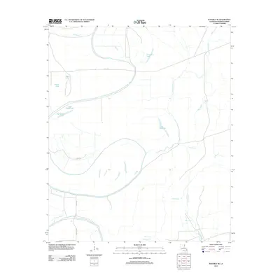
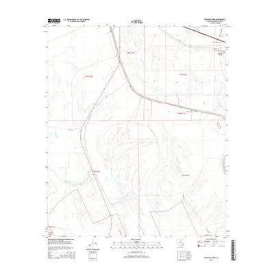
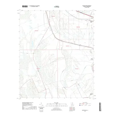
2024 Fortune Fork
Madison Parish, LA
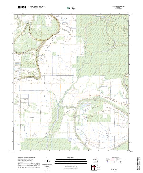
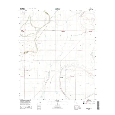
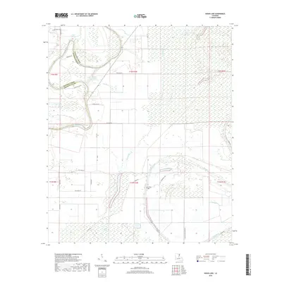
2024 Indian Lake
Madison Parish, LA
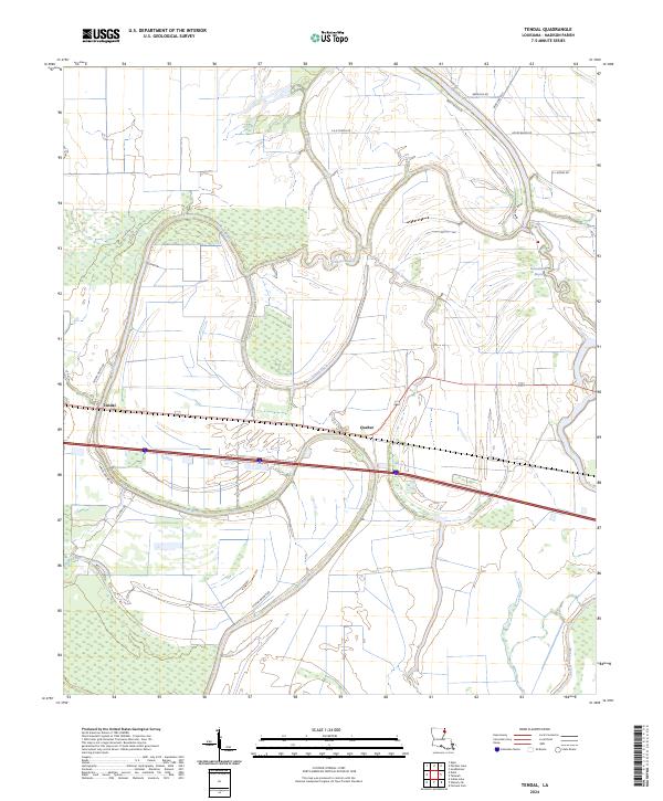
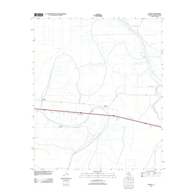
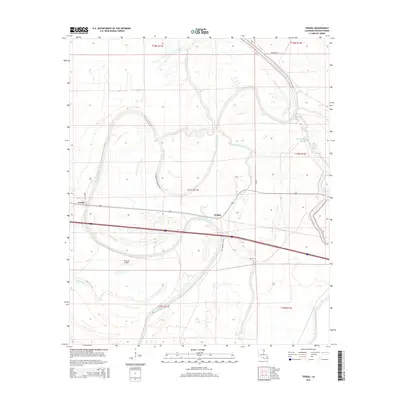
2024 Tendal
Madison Parish, LA
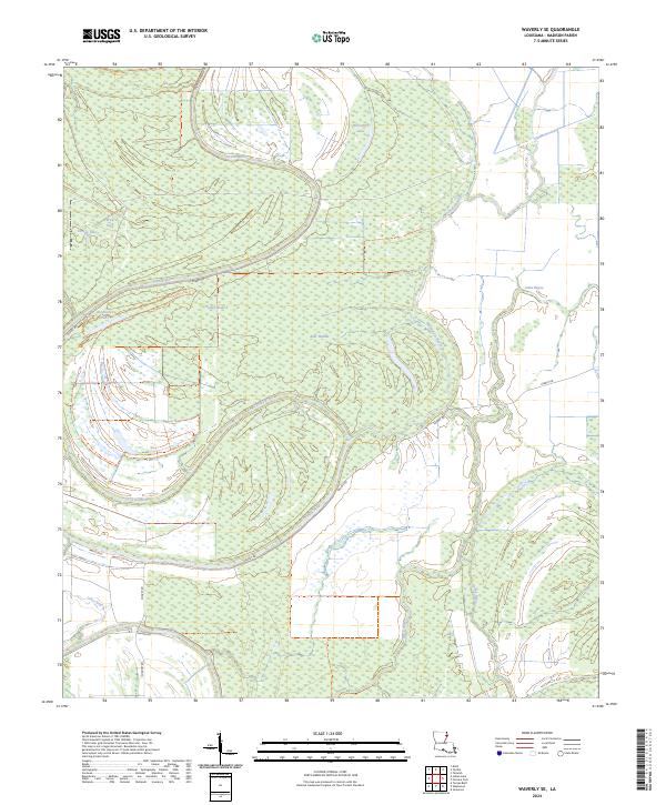
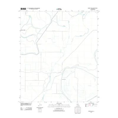
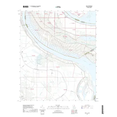
2024 Waverly SE
Madison Parish, LA