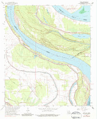
1963 Map of Ashly
USGS Topo · Published 1984About this map
Mississippi River dynamics dominate this 1962-63 topography, revealing a landscape defined by the shifting waters between Madison Parish, Louisiana, and Warren County, Mississippi. The intricate riverine geography includes Australia Island, Forest Home Towhead, and the Forest Home Chute, reflecting the river's constant reshaping of the terrain. Near the community of Ashly, the Cabin Teele Crevasse serves as a reminder of past flood events and the precarious nature of life along the levee system.
Find a feature on this map
28 named features on this map. Tap any name to fly to it.
Don’t see what you’re looking for? This feature index may not catch every label — zoom into the map to look around manually.
Map Details
Editions of this 1963 Ashly Map
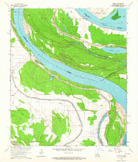
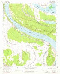
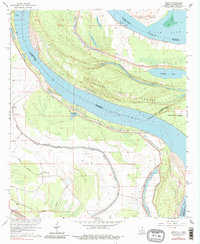
4 editions found
Other maps of this area

1909 · Millikens Bend
USGS Topo · 1:24,000

1909 · Tallulah
USGS Topo · 1:24,000

1909 · Mound
USGS Topo · 1:24,000

1910 · Mound
USGS Topo · 1:31,680

1918 · Vicksburg
USGS Topo · 1:62,500

1939 · Onward
USGS Topo · 1:62,500

1939 · Talla Bena
USGS Topo · 1:62,500

1939 · Alsatia
USGS Topo · 1:62,500

1941 · Vicksburg
USGS Topo · 1:62,500

1955 · Jackson
USGS Topo · 1:250,000