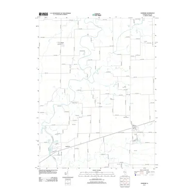
2012 Map of Ashmore
USGS Topo · Published 2012About this map
Ashmore and its surrounding rural townships in Coles County are defined by a complex network of waterways that once shaped early transport and settlement. The Embarras River and Little Embarras River wind through the landscape, joined by numerous tributaries such as Polecat Cr, Brush Cr, and Jakes Br. These watercourses are tied to early crossing points like Boyd Ford and Barney Ford, alongside the more modern infrastructure of the Airtight Bridge.
Find a feature on this map
115 named features on this map. Tap any name to fly to it.
Don’t see what you’re looking for? This feature index may not catch every label — zoom into the map to look around manually.
Map Details
Editions of this 2012 Ashmore Map
This is the sole edition of this map. No revisions or reprints were ever made.
Other maps of this area

1933 · Toledo
USGS Topo · 1:62,500

1936 · Oakland
USGS Topo · 1:48,000

1936 · Casey
USGS Topo · 1:48,000

1938 · Toledo
USGS Topo · 1:62,500

1942 · Oakland
USGS Topo · 1:62,500

1942 · Casey
USGS Topo · 1:62,500

1943 · Casey
USGS Topo · 1:62,500

1946 · Kansas
USGS Topo · 1:62,500

1949 · Kansas
USGS Topo · 1:62,500

1953 · Indianapolis
USGS Topo · 1:250,000