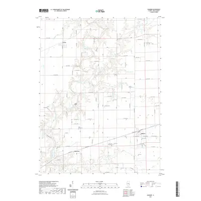
2021 Map of Ashmore
USGS Topo · Published 2021About this map
Ashmore and the surrounding Coles County landscape are defined by the winding course of the Embarras River and its numerous tributaries like Polecat Cr and Brush Cr. This 2021 survey illustrates a mature agricultural region punctuated by several small settlements including Rardin and Embarrass. A striking concentration of family and community burial grounds is evident across the township, ranging from the Saint Omer Cem and Zimmerman Cem to the notable Coles County Poor Farm Cem, providing significant geographic data for genealogists tracing local lineages. The transport network is characterized by a dense grid of numbered county roads, though local landmarks like the Airtight Bridge provide specific navigational points along the river. The map also captures the Little Embarras River as it joins the primary waterway, shaping the drainage patterns and land use throughout the eastern portion of the county.
Find a feature on this map
82 named features on this map. Tap any name to fly to it.
Don’t see what you’re looking for? This feature index may not catch every label — zoom into the map to look around manually.
Map Details
Editions of this 2021 Ashmore Map
This is the sole edition of this map. No revisions or reprints were ever made.
Other maps of this area

1933 · Toledo
USGS Topo · 1:62,500

1936 · Oakland
USGS Topo · 1:48,000

1936 · Casey
USGS Topo · 1:48,000

1938 · Toledo
USGS Topo · 1:62,500

1942 · Oakland
USGS Topo · 1:62,500

1942 · Casey
USGS Topo · 1:62,500

1943 · Casey
USGS Topo · 1:62,500

1946 · Kansas
USGS Topo · 1:62,500

1949 · Kansas
USGS Topo · 1:62,500

1953 · Indianapolis
USGS Topo · 1:250,000