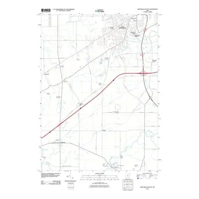
2010 Map of Ashtabula South
USGS Topo · Published 2010About this map
Ashtabula and its southern outskirts are defined by the winding course of the Ashtabula River and several major tributaries like Coffee Creek and Center Creek. The settlement pattern in this early 21st-century landscape includes established villages and residential developments such as Parkwood Village and Crestlawn Village, alongside historic rural centers like Austinburg and Saybrook. Transportation is anchored by the crossing of major routes near Munson Hill, connecting the lakefront city to the agricultural interior of the county.
Find a feature on this map
69 named features on this map. Tap any name to fly to it.
Don’t see what you’re looking for? This feature index may not catch every label — zoom into the map to look around manually.
Map Details
Editions of this 2010 Ashtabula South Map
This is the sole edition of this map. No revisions or reprints were ever made.
Other maps of this area

1905 · Andover
USGS Topo · 1:48,000

1905 · Ashtabula
USGS Topo · 1:62,500

1905 · Jefferson
USGS Topo · 1:62,500

1906 · Conneaut
USGS Topo · 1:62,500

1907 · Andover
USGS Topo · 1:62,500

1907 · Jefferson
USGS Topo · 1:62,500

1950 · Cleveland
USGS Topo · 1:250,000

1956 · Cleveland
USGS Topo · 1:250,000

1959 · Dorset
USGS Topo · 1:24,000

1959 · East Trumbull
USGS Topo · 1:24,000