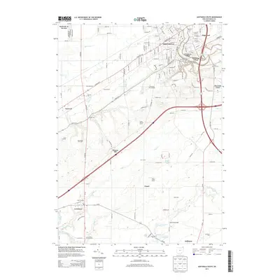
2013 Map of Ashtabula South
USGS Topo · Published 2013About this map
Ashtabula and its southern environs appear in this modern survey, which details the residential expansion into Edgewood, Crestlawn Village, and Parkwood Village. The landscape transitioning south of the city is characterized by established agricultural properties and specialty operations like Millers Buffalo Ranch, March Farms, and the Wilso Dairy. Numerous community centers and historical burial grounds are interspersed among the drainages of Red Brook and Coffee Cr, including Ridgeview Burial Park and the Austinburg Center Cem.
Find a feature on this map
89 named features on this map. Tap any name to fly to it.
Don’t see what you’re looking for? This feature index may not catch every label — zoom into the map to look around manually.
Map Details
Editions of this 2013 Ashtabula South Map
This is the sole edition of this map. No revisions or reprints were ever made.
Other maps of this area

1905 · Andover
USGS Topo · 1:48,000

1905 · Ashtabula
USGS Topo · 1:62,500

1905 · Jefferson
USGS Topo · 1:62,500

1906 · Conneaut
USGS Topo · 1:62,500

1907 · Andover
USGS Topo · 1:62,500

1907 · Jefferson
USGS Topo · 1:62,500

1950 · Cleveland
USGS Topo · 1:250,000

1956 · Cleveland
USGS Topo · 1:250,000

1959 · Dorset
USGS Topo · 1:24,000

1959 · East Trumbull
USGS Topo · 1:24,000