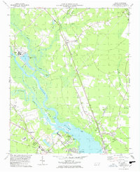
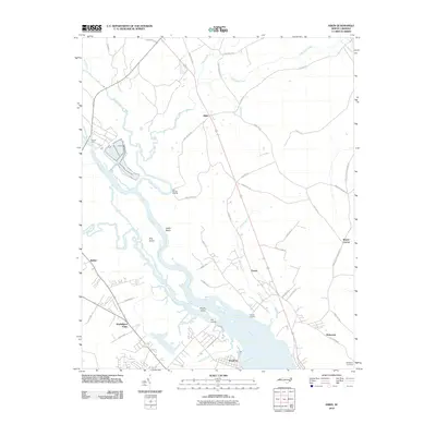
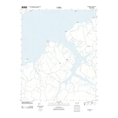
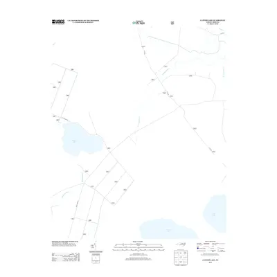
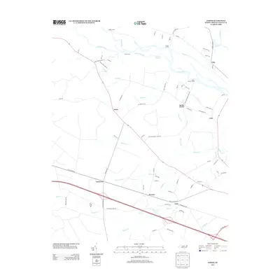
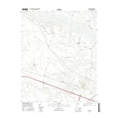
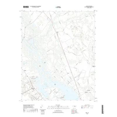
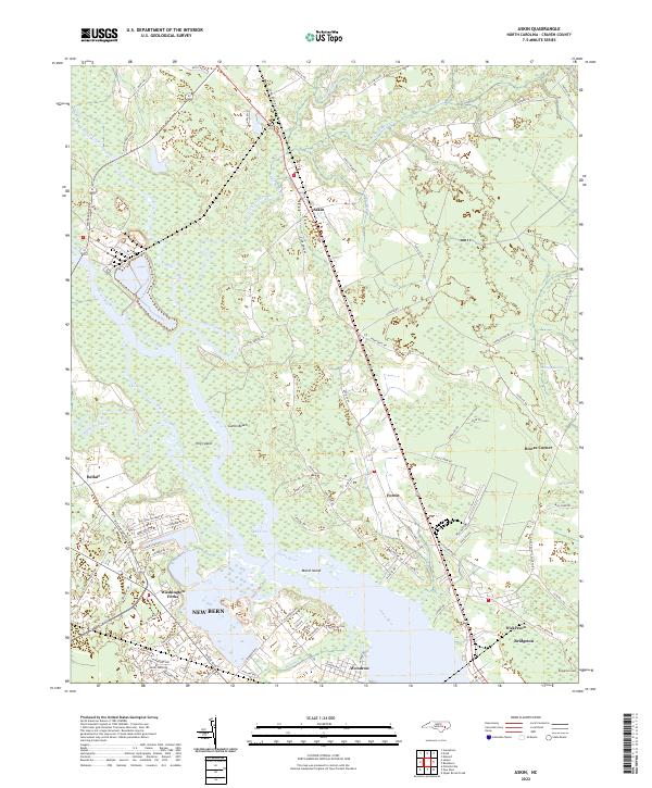
1978 Map of Askin
USGS Topo · Published 1978About this map
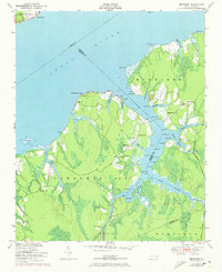
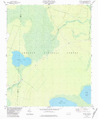
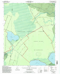
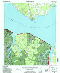
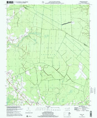
The Neuse River dominates this mid-1970s landscape, weaving past low-lying marshlands and industrial sites near the New Bern boundary. The map illustrates a transitional period for the riverfront, where public spaces like Glenburnie Park and the Wildlife Landing sit alongside industrial waste ponds and a large quarry. Settlement patterns are concentrated along the rail lines and major crossings, with the Norfolk Southern corridor anchoring small communities such as Askin, Forest, and Dickerson.
Find a feature on this map
53 named features on this map. Tap any name to fly to it.
Don’t see what you’re looking for? This feature index may not catch every label — zoom into the map to look around manually.
Map Details
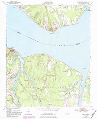
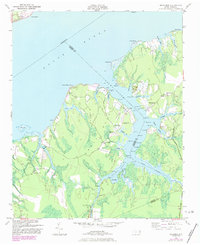
Editions of this 1978 Askin Map
2 editions found
Historical Maps of New Bern Through Time
47 maps found
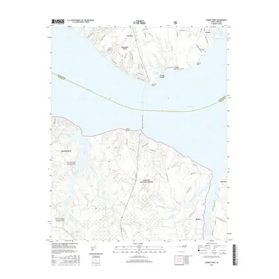
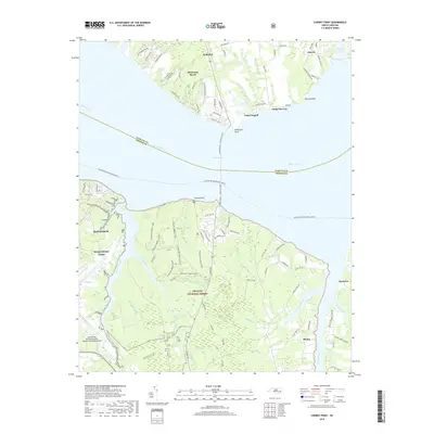
1949 Cherry Point
Craven County, NC
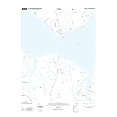
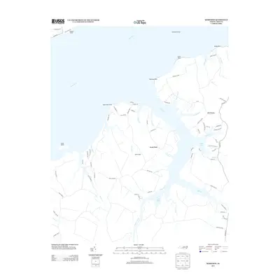
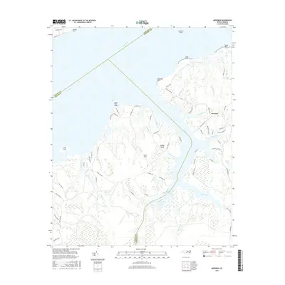
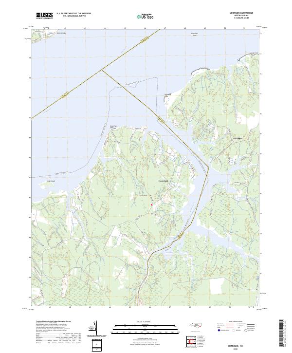
1949 Merrimon
Craven County, NC
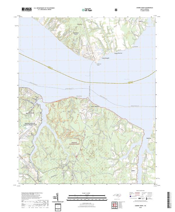
1951 Cherry Point
Craven County, NC
1951 Merrimon
Craven County, NC

1978 Askin
Craven County, NC
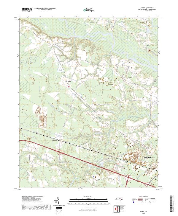
1978 Jasper
Craven County, NC
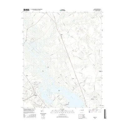
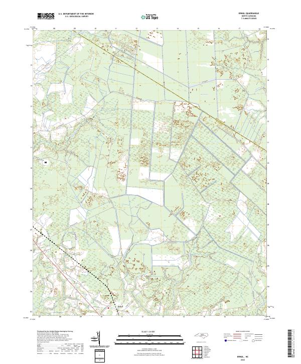
1983 Ernul
Craven County, NC
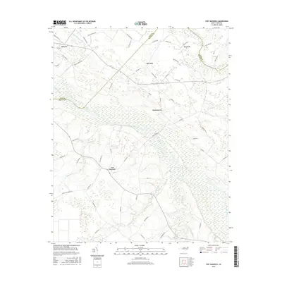
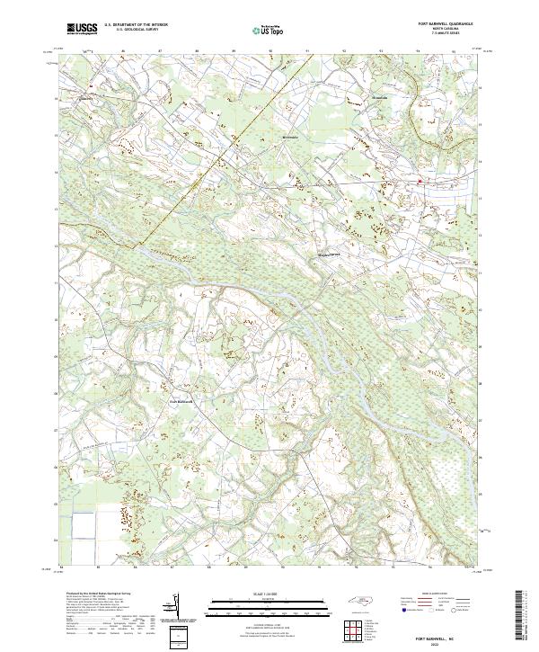
1983 Fort Barnwell
Craven County, NC
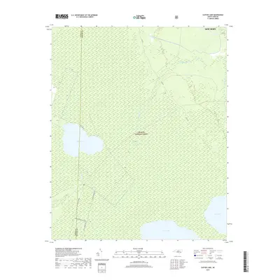
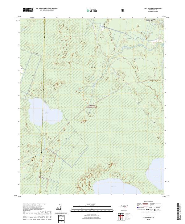
1984 Catfish Lake
Craven County, NC
1994 Catfish Lake
Craven County, NC
1994 Cherry Point
Craven County, NC
1998 Ernul
Craven County, NC
2010 Askin
Craven County, NC
2010 Ernul
Craven County, NC
2010 Fort Barnwell
Craven County, NC
2010 Jasper
Craven County, NC
2010 Merrimon
Craven County, NC
2011 Catfish Lake
Craven County, NC
2011 Cherry Point
Craven County, NC
2013 Askin
Craven County, NC
2013 Catfish Lake
Craven County, NC
2013 Cherry Point
Craven County, NC
2013 Ernul
Craven County, NC
2013 Fort Barnwell
Craven County, NC
2013 Jasper
Craven County, NC
2013 Merrimon
Craven County, NC
2016 Askin
Craven County, NC
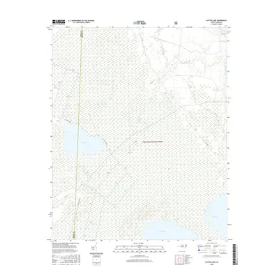
2016 Catfish Lake
Craven County, NC
2016 Cherry Point
Craven County, NC

2016 Ernul
Craven County, NC
2016 Fort Barnwell
Craven County, NC
2016 Jasper
Craven County, NC
2016 Merrimon
Craven County, NC
2019 Askin
Craven County, NC
2019 Catfish Lake
Craven County, NC
2019 Cherry Point
Craven County, NC
2019 Ernul
Craven County, NC
2019 Fort Barnwell
Craven County, NC
2019 Jasper
Craven County, NC
2019 Merrimon
Craven County, NC
2022 Askin
Craven County, NC
2022 Catfish Lake
Craven County, NC
2022 Cherry Point
Craven County, NC
2022 Ernul
Craven County, NC
2022 Fort Barnwell
Craven County, NC
2022 Jasper
Craven County, NC
2022 Merrimon
Craven County, NC