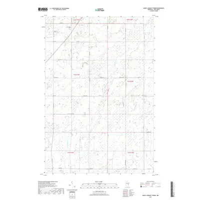
2019 Map of Askov Lookout Tower
USGS Topo · Published 2019About this map
Askov Lookout Tower stands as a prominent landmark in this northern Minnesota landscape, overseeing a complex network of wetlands and drainage basins. The area is defined by the headwaters and winding paths of several watercourses, including Sand Creek, Partridge Creek, and Hay Creek, which weave through the townships of Pine County. Evidence of early Lutheran settlement is preserved at the Vilstad Lutheran Cemetery near the intersection of One Mile Road and County Road 145. The road names themselves reflect the local agricultural and natural history, with routes like Rutabaga Road, Blackberry Road, and Pickerel Creek Road providing access to the low-lying terrain. This 2019 survey captures the modern rural character of the region, where legacy landmarks like the lookout tower continue to anchor the geography of the surrounding forest and marshlands.
Find a feature on this map
43 named features on this map. Tap any name to fly to it.
Don’t see what you’re looking for? This feature index may not catch every label — zoom into the map to look around manually.
Map Details
Editions of this 2019 Askov Lookout Tower Map
This is the sole edition of this map. No revisions or reprints were ever made.
Other maps of this area

1953 · Duluth
USGS Topo · 1:250,000

1958 · Duluth
USGS Topo · 1:250,000

1961 · Sandstone
USGS Topo · 1:62,500

1961 · Moose Lake
USGS Topo · 1:62,500

1962 · Bruno
USGS Topo · 1:62,500

1962 · Cloverdale
USGS Topo · 1:62,500

1980 · Sandstone
USGS Topo · 1:100,000
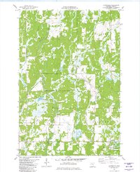
1981 · Cloverdale
USGS Topo · 1:24,000
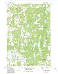
1981 · Askov Lookout Tower
USGS Topo · 1:24,000
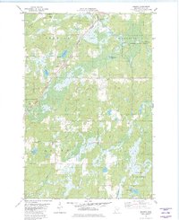
1981 · Kerrick
USGS Topo · 1:24,000
Featured Places
- Norman Township, MN
- Danforth Township, MN
- Bruno Township, MN
- Partridge Township, MN
- Sandstone Township, MN