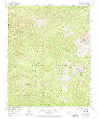
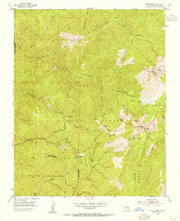
1953 Map of Aspen Basin
USGS Topo · Published 1974About this map
Santa Fe National Forest and the towering heights of the Sangre de Cristo Mountains dominate this high-altitude terrain, where early backcountry outposts such as Rancho Viejo and Aspen Ranch mark the human footprint in the wilderness. The landscape is defined by the sharp drainage of the Rio Nambe and the Santa Fe River, which originate among prominent summits like Santa Fe Baldy and Penitente Peak. Deeply etched glacial features are evident at Katherine Lake and Nambe Lake, reflecting the geologic forces that shaped this portion of the range.
Find a feature on this map
33 named features on this map. Tap any name to fly to it.
Don’t see what you’re looking for? This feature index may not catch every label — zoom into the map to look around manually.
Map Details
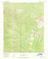
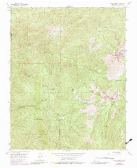
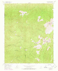
Editions of this 1953 Aspen Basin Map
6 editions found
Other maps of this area

1889 · Santa Fe
USGS Topo · 1:125,000

1894 · Santa Fe
USGS Topo · 1:125,000

1952 · Santa Fe
USGS Topo · 1:24,000

1953 · Tesuque
USGS Topo · 1:24,000

1953 · Sierra Mosca
USGS Topo · 1:24,000
1953 · Cundiyo
USGS Topo · 1:24,000

1953 · Mc Clure Reservoir
USGS Topo · 1:24,000

1953 · Aspen Basin
USGS Topo · 1:24,000

1954 · Santa Fe
USGS Topo · 1:250,000

1958 · Santa Fe
USGS Topo · 1:250,000