
1948 Map of Aspen Grove
USGS Topo · Published 1960About this map
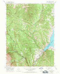
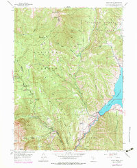
Alpine Scenic Highway winds through the high canyons of the Uinta National Forest, illustrating a mid-century era of expanding recreational access in the Utah mountains. This 1948 field survey captures several seasonal and educational landmarks, most notably the Alpine Summer School (B. Y. U.) at Aspen Grove and the Girls M. I. A. Camp further south. The southeastern corner is dominated by the Deer Creek Reservoir, where the Denver and Rio Grande Western railroad tracks follow the northern shoreline. Specialized mountain infrastructure is evident through the Snow Gaging Sta near Forest Camp No 1, reflecting the region's importance for water management and winter research. The landscape is a complex network of steep drainages like Mill Canyon and Bear Canyon, opening into the Heber Valley at the map's eastern edge.
Find a feature on this map
48 named features on this map. Tap any name to fly to it.
Don’t see what you’re looking for? This feature index may not catch every label — zoom into the map to look around manually.
Map Details
Editions of this 1948 Aspen Grove Map
3 editions found
Other maps of this area

1885 · Salt Lake
USGS Topo · 1:250,000

1900 · Coalville
USGS Topo · 1:125,000

1903 · Coalville
USGS Topo · 1:125,000

1907 · Strawberry Valley
USGS Topo · 1:125,000

1909 · Strawberry Valley
USGS Topo · 1:125,000

1925 · Ft. Douglas
USGS Topo · 1:125,000

1928 · Ft. Douglas
USGS Topo · 1:125,000

1948 · Timpanogos Cave
USGS Topo · 1:24,000

1948 · Orem
USGS Topo · 1:24,000

1948 · Orem
USGS Topo · 1:62,500