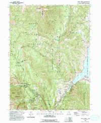
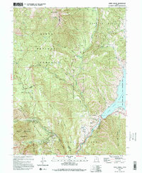
1993 Map of Aspen Grove
USGS Topo · Published 1994About this map
Mount Timpanogos anchors this high-elevation landscape, where the intersection of tourism and conservation is evident through established sites like the Aspen Grove settlement and the Sundance Ski Area. The terrain is defined by dramatic glacial features, including Big Provo Cirque and Cascade Cirque, within the protected bounds of the Mount Timpanogos Wilderness. Historical infrastructure is preserved in the form of an Old Railroad Grade winding through the canyons, reflecting a shift from early transport and extraction to the recreational focus of the late twentieth century.
Find a feature on this map
44 named features on this map. Tap any name to fly to it.
Don’t see what you’re looking for? This feature index may not catch every label — zoom into the map to look around manually.
Map Details
Editions of this 1993 Aspen Grove Map
2 editions found
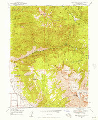
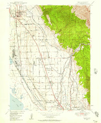
Other maps of this area

1885 · Salt Lake
USGS Topo · 1:250,000

1900 · Coalville
USGS Topo · 1:125,000

1903 · Coalville
USGS Topo · 1:125,000

1907 · Strawberry Valley
USGS Topo · 1:125,000

1909 · Strawberry Valley
USGS Topo · 1:125,000

1925 · Ft. Douglas
USGS Topo · 1:125,000

1928 · Ft. Douglas
USGS Topo · 1:125,000
1948 · Timpanogos Cave
USGS Topo · 1:24,000
1948 · Orem
USGS Topo · 1:24,000

1948 · Orem
USGS Topo · 1:62,500