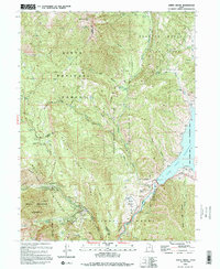
1993 Map of Aspen Grove
USGS Topo · Published 1994About this map
Mount Timpanogos anchors this high-elevation mountain landscape, where the peaks of the Wasatch Mountains meet the waters of Deer Creek Reservoir. This late twentieth-century survey captures a region defined by its transition from industrial extraction to large-scale recreation and preservation. The rugged eastern slopes of the Timpanogos Mountain range are protected within the Mount Timpanogos Wilderness, while the lower valleys show the infrastructure of water management and tourism.
Find a feature on this map
62 named features on this map. Tap any name to fly to it.
Don’t see what you’re looking for? This feature index may not catch every label — zoom into the map to look around manually.
Map Details
Editions of this 1993 Aspen Grove Map
2 editions found
Other maps of this area

1885 · Salt Lake
USGS Topo · 1:250,000

1900 · Coalville
USGS Topo · 1:125,000

1903 · Coalville
USGS Topo · 1:125,000

1907 · Strawberry Valley
USGS Topo · 1:125,000

1909 · Strawberry Valley
USGS Topo · 1:125,000

1925 · Ft. Douglas
USGS Topo · 1:125,000

1928 · Ft. Douglas
USGS Topo · 1:125,000

1948 · Timpanogos Cave
USGS Topo · 1:24,000

1948 · Orem
USGS Topo · 1:24,000

1948 · Orem
USGS Topo · 1:62,500