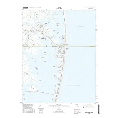
2016 Map of Assawoman Bay
USGS Topo · Published 2016About this map
The Delmarva Peninsula coastline, where the state line divides Sussex Co, Delaware, and Worcester Co, Maryland, is defined by a complex network of barrier islands and back bays. The barrier strip transitions from Fenwick Island south into Maryland Beach and the northern reaches of Ocean City. This narrow ribbon of development is separated from the mainland by Little Assawoman Bay and the wider Assawoman Bay, with The Ditch providing a critical navigable connection through the marshes.
Find a feature on this map
167 named features on this map. Tap any name to fly to it.
Don’t see what you’re looking for? This feature index may not catch every label — zoom into the map to look around manually.
Map Details
Editions of this 2016 Assawoman Bay Map
This is the sole edition of this map. No revisions or reprints were ever made.
Other maps of this area

1901 · Ocean City
USGS Topo · 1:62,500

1918 · Rehoboth
USGS Topo · 1:62,500

1938 · Rehoboth
USGS Topo · 1:62,500

1942 · Ocean City
USGS Topo · 1:62,500

1942 · Ocean City
USGS Topo · 1:24,000

1943 · Selbyville
USGS Topo · 1:31,680
1943 · Berlin
USGS Topo · 1:31,680
1943 · Ocean City
USGS Topo · 1:31,680
1943 · Assawoman Bay
USGS Topo · 1:31,680
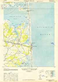
1943 · Bethany Beach
USGS Topo · 1:24,000