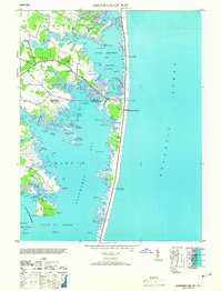
1953 Map of Assawoman Bay
USGS Topo · Published 1953About this map
Fenwick Island Lighthouse and the adjacent Fenwick Island C G Sta Tower stand as primary landmarks along the narrow barrier beach separating the Atlantic Ocean from the intricate wetlands of the Maryland and Delaware coast. This 1940s-era topography reveals a landscape dominated by tidal guts, hammocks, and coves, where small settlements like Bayville and the emerging Maryland Beach served as hubs for coastal life. The map details the complex geography of Little Assawoman Bay and the larger Assawoman Bay, connected by The Narrows. Numerous family-named points and islands, such as Johns Hammock, Conch Pt, and Bennett Point, indicate a long history of local maritime use. From the marshy reaches of Miller Neck to the southern waters of the St Martin River, the survey documents a coastal ecosystem prior to extensive modern development, including the Soil Conservation Service Assawoman Bay Site No 8.
Find a feature on this map
75 named features on this map. Tap any name to fly to it.
Don’t see what you’re looking for? This feature index may not catch every label — zoom into the map to look around manually.
Map Details
Editions of this 1953 Assawoman Bay Map
This is the sole edition of this map. No revisions or reprints were ever made.
Other maps of this area

1901 · Ocean City
USGS Topo · 1:62,500

1918 · Rehoboth
USGS Topo · 1:62,500

1938 · Rehoboth
USGS Topo · 1:62,500

1942 · Ocean City
USGS Topo · 1:62,500

1942 · Ocean City
USGS Topo · 1:24,000

1943 · Selbyville
USGS Topo · 1:31,680
1943 · Berlin
USGS Topo · 1:31,680
1943 · Ocean City
USGS Topo · 1:31,680
1943 · Assawoman Bay
USGS Topo · 1:31,680
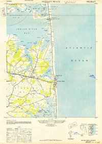
1943 · Bethany Beach
USGS Topo · 1:24,000